


14,6 km | 33 km-effort
Villar-Saint-Pancrace : découvrez les meilleures randonnées : 41 pédestres et 4 à vélo ou VTT. Tous ces circuits, parcours, itinéraires et activités en plein air sont disponibles dans nos applications SityTrail pour smartphones et tablettes.
Autre activité


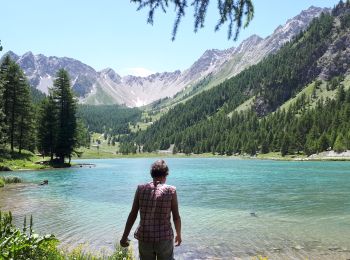
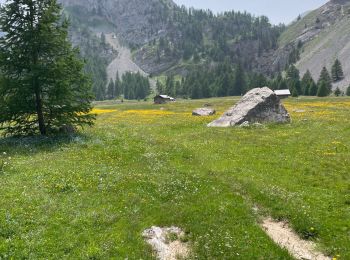
• Villar st Pancrase les Ayes lac dOrceyrette se garer au plus haut sur la route en direction des chalets d'Orceyrett...
Marche
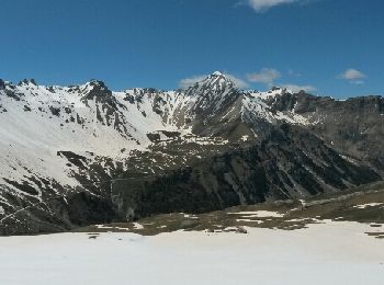
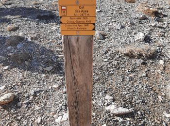
• Villar-Saint-Pancrace - du Chalets des Ayes au Plan Peyron au GR5 - 7.1km 365m 2h15 - 2014 05 31
Marche
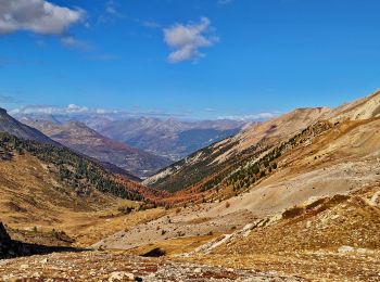
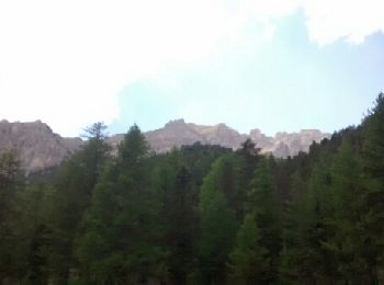
• Très belle randonnée à faire en automne pour les couleurs.
Marche
Marche
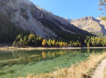
• lac l orceyrette
Marche
Marche
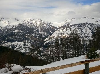
Raquettes à neige

 41.21
41.21
sport
• La Montée depuis le hameau du Freyssinet se fait en grand partie à pied pendant environ 400m de dénivelé. Sinon magni...
33.07
sport
• Magnifique mais exigeant

Marche
• très dur
Marche
Marche
• Partez à travers les bois pour découvrir ce fort construit entre 1876 et 1879 . Cette randonnée sous forme de boucle ...
Marche
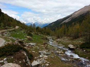
• Un agréable parcours dans les mélèzes qui longe une partie d'un ancien canal d'irrigation et vous guide vers le lac d...
Marche
• neige la nuit aucune trace au bord du lac 11h
Marche
Marche
• Belle balade facile

Sports d'hiver
•

Raquettes à neige
• Enregistré sur le terrain
Raquettes à neige
• Enregistré sur le terrain
20 randonnées affichées sur 61
Application GPS de randonnée GRATUITE
 SityTrail
IGN / Instituts géographiques
SityTrail World
Le monde est à vous