


9,1 km | 13,9 km-effort
Lafare : découvrez les meilleures randonnées : 65 pédestres et 1 à vélo ou VTT. Tous ces circuits, parcours, itinéraires et activités en plein air sont disponibles dans nos applications SityTrail pour smartphones et tablettes.
Marche


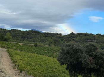
• Une très belle balade à faire si possible le matin quand il fait chaud. On découvre les dentelles de Montmirail en em...

Marche
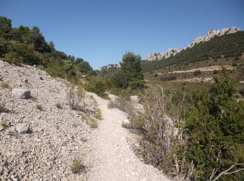
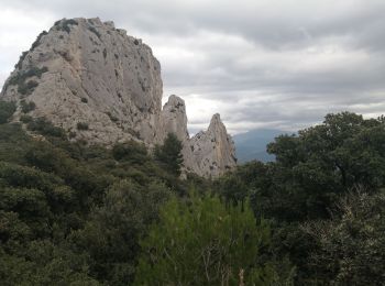
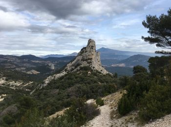
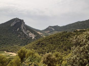
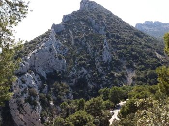
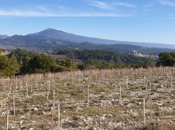
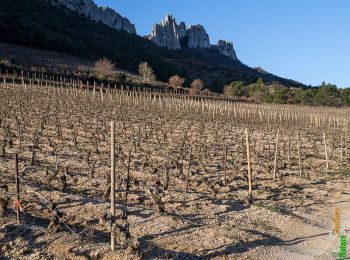
• Petit mais élégant massif, les Dentelles de Montmirail présentent un grand intérêt pour l'escalade, mais aussi la ran...
Marche
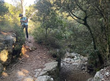
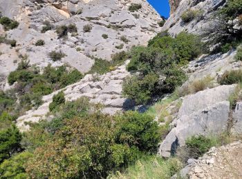
• Attention rando sportive aérienne et passage ou l on met les mains. Être bien à l aise.
Marche
Marche
• Petite randonnée dans les Dentelles de Montmirail, au départ de Lafare, en passant par La Chapelle st Christophe, le ...
Autre activité
• J'hésite

Marche
 6.771
6.771
sport
Marche
Marche
• Dentelles de Montmirail
Marche
• Randonnée dans les dentelles en passant par le clapis
Marche
Marche
Marche
Marche
Marche
Marche
Marche
• Petit mais élégant massif, les Dentelles de Montmirail présentent un grand intérêt pour l'escalade, mais aussi la ran...
Marche
Marche
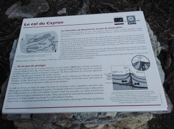
• Les dentelles de Montmirail par La Chapelle st Christophe, le col du cayron, le col d’alsau et le vallat de l’aiguille
20 randonnées affichées sur 69
Application GPS de randonnée GRATUITE
 SityTrail
IGN / Instituts géographiques
SityTrail World
Le monde est à vous