


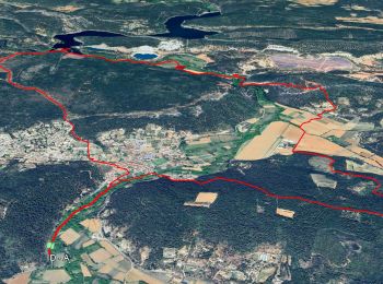
15,3 km | 21 km-effort
Cabasse : découvrez les meilleures randonnées : 80 pédestres et 5 à vélo ou VTT. Tous ces circuits, parcours, itinéraires et activités en plein air sont disponibles dans nos applications SityTrail pour smartphones et tablettes.
A pied


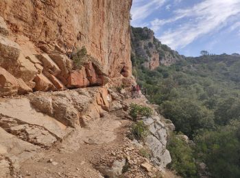
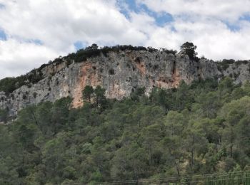
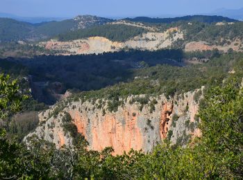
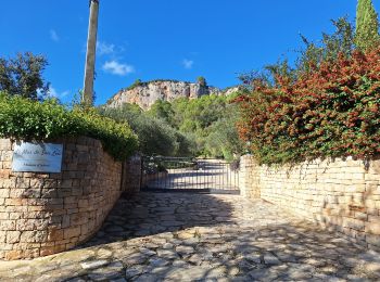
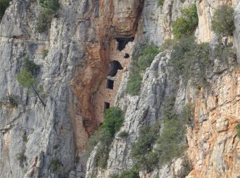
• 2 bonnes montées 1 passage sur corniche sous les falaises (cordes en place pour se tenir) Multiples points d'intérêts...
Marche
• 3 bonnes montées 1 passage sur corniche sous les falaises (cordes en place pour se tenir) Multiples points d'intérêts...

Marche
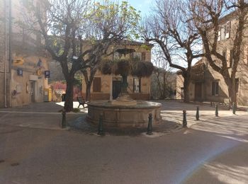
• Dans le village de Cabasse, se garer sur le grand parking aux abords de la Rue Jules Ferry (D13) qui part en directio...
 14.901
sport
• Belle rando sous le soleil
Marche
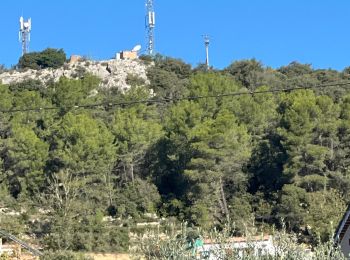
• Petite randonnée avec de beaux points de vue sur Cabasse et les falaises. La montée vers le défens est raide, en plei...
Marche
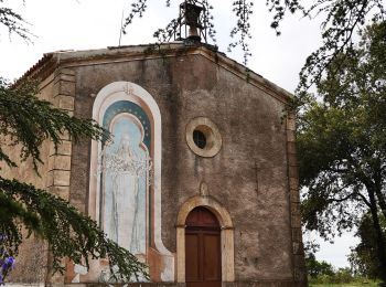
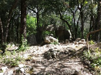
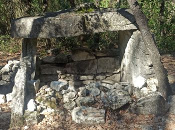
• Cabasse-dolmen de la Gastée-la plaine-château Requier-le trou des fées-ND du glaive-chapelle St loup-l'Issole-Cabasse.
Marche
• IBP Orange 65
Marche
• Très belle randonnée facile, sauf la montée vers Notre Dame du Glaive qui est très raide. L'aller vers le lac de Carc...
Marche
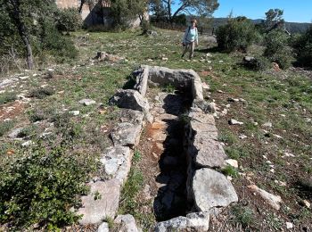
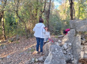
• Rando petit groupe de Restons en Forme Draguignan. Je ne suis pas un fétichiste des citernes, mais ce sont d'excellen...
Marche
Marche
Marche
• Reco du parcours prévu le 07-05-2014 reco avec Pierre. 3 belles montées et une descente un peu sportive depuis ND du ...
Marche
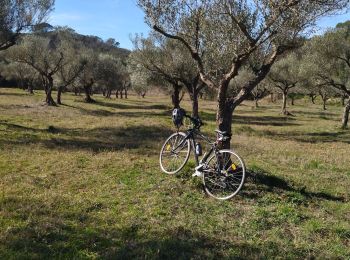
Vélo de route
• A la fin de la randonnée, nous n'avons pu que déplorer l'état du lac de Carcès qui est actuellement pratiquement à se...
Marche
Marche
Marche
Marche
Marche
Marche
• Cabasse-dolmen de la Gastée-la plaine-Abbaye du Thoronet-le trou des fées-Notre Dame du Glaive-chapelle St Loup.
20 randonnées affichées sur 91
Application GPS de randonnée GRATUITE
 SityTrail
IGN / Instituts géographiques
SityTrail World
Le monde est à vous