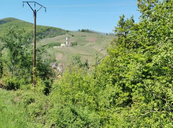
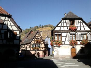
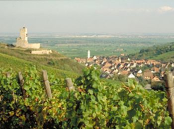
Katzenthal, Haut-Rhin : Les meilleures randonnées, itinéraires, parcours, balades et promenades

2 commentaires

Katzenthal : découvrez les meilleures randonnées : 21 pédestres, 2 à vélo ou VTT et 1 parcours équestres. Tous ces circuits, parcours, itinéraires et activités en plein air sont disponibles dans nos applications SityTrail pour smartphones et tablettes.


Les meilleurs parcours (24)

Randonnée Marche Katzenthal - Katzenthal  - Photo
Marche 16.383
Km

Marche

Difficile
Katzenthal, Grand Est, Haut-Rhin, France
16,4 km | 25 km-effort
5h 40min
645 m
647 m
Oui
2433e59

• difficile

Randonnée Marche Katzenthal - boucle katzenthal- galtz- 3 épis- katzenthal  - Photo
Marche 12.193
Km

Marche

Difficile
(1)
Katzenthal, Grand Est, Haut-Rhin, France
12,2 km | 19,3 km-effort
3h 48min
532 m
531 m
Oui
fbienmuller

• Les 4 premiers km sont en montée permanente, mais une fois au sommet, quelle vue !
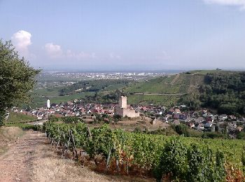
Randonnée Marche Katzenthal - Sur les flans de Katzenthal  - Photo
Marche 10.732
Km

Marche

Moyen
Katzenthal, Grand Est, Haut-Rhin, France
10,7 km | 16 km-effort
2h 4min
397 m
396 m
Oui
zazie

• Promenade estivale entre vignes et forêts de Katzenthal.

Randonnée Marche Katzenthal - De Katzenthal au Sommerberg par le château de Wineck - Photo
Marche 6.617
Km

Marche

Moyen
Katzenthal, Grand Est, Haut-Rhin, France
6,6 km | 10,8 km-effort
2h 0min
314 m
307 m
Oui
tracegps

• Au fond d’un admirable vallon, la citée de Katzenthal est dominée par le château du Wineck édifié en 1200, abritant u...
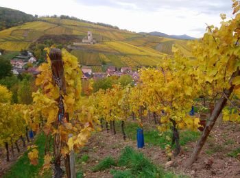
Randonnée Marche Katzenthal - Boucle Katzenthal via Niedermorschwihr - Photo
Marche 8.826
Km

Marche

Facile
Katzenthal, Grand Est, Haut-Rhin, France
8,8 km | 12 km-effort
1h 33min
224 m
270 m
Non
zazie

Randonnée Marche Katzenthal - katzenthal le galtz  - Photo
Marche 10.85
Km

Marche

Très facile
Katzenthal, Grand Est, Haut-Rhin, France
10,8 km | 17,5 km-effort
6h 0min
494 m
505 m
Non
pascalloos

Randonnée Marche Katzenthal - aux alentours de Niedermorschwihr  - Photo
Marche 6.136
Km

Marche

Facile
Katzenthal, Grand Est, Haut-Rhin, France
6,1 km | 8,1 km-effort
1h 14min
150 m
139 m
Oui
zazie

Randonnée V.T.T. Katzenthal - Les hauteurs de Katzenthal - Photo
V.T.T. 4.488
Km

V.T.T.

Facile
Katzenthal, Grand Est, Haut-Rhin, France
4,5 km | 6,7 km-effort
1h 0min
163 m
166 m
Oui
tracegps

• Une balade courte à faire en famille. De jolis points de vue sur la Plaine d'Alsace et son Vignoble. Possibilité de v...

Randonnée Course à pied Katzenthal - Montée du Galtz - Katzenthal - Photo
Course à pied 8.032
Km

Course à pied

Moyen
Katzenthal, Grand Est, Haut-Rhin, France
8 km | 14,1 km-effort
45min
456 m
456 m
Oui
tracegps

• Très beau parcours, on se retrouve au pieds de la statue de jésus au sommet du Galtz. Une fois monté au dessus de la ...
Randonnée V.T.T. Katzenthal - Les Hauteurs de Katzenthal - Photo
V.T.T. 4.409
Km

V.T.T.

Facile
Katzenthal, Grand Est, Haut-Rhin, France
4,4 km | 6,6 km-effort
30min
166 m
168 m
Oui
tracegps

• Longue et unique montée depuis le village jusqu'au virage en épingle dans la forêt, puis, descente roulante sur bitum...

Randonnée Marche Katzenthal - De Katzenthal au Sommerberg par le château de Wineck - Photo
Marche 6.617
Km
GUIDE

Marche

Facile
Katzenthal, Grand Est, Haut-Rhin, France
6,6 km | 10,8 km-effort
2h 0min
314 m
307 m
Oui
Desrumaux

• Détails de la rando sur TraceGPS.com http://www.tracegps.com/fr/parcours/circuit11200.htm

Randonnée Marche Katzenthal - ARCA Katzenthal - Photo
Marche 6.227
Km

Marche

Moyen
Katzenthal, Grand Est, Haut-Rhin, France
6,2 km | 8,7 km-effort
1h 59min
189 m
189 m
Oui
Gatge

• Promenade agréable

Randonnée Marche Katzenthal - kalzenthal - Photo
Marche 10.018
Km

Marche

Katzenthal, Grand Est, Haut-Rhin, France
10 km | 14 km-effort
3h 54min
289 m
328 m
Non
micksop

• boucle K... <> Ammerschwihr

Randonnée Marche Katzenthal - Sur les hauteurs de Katzenthal  - Photo
Marche 5.577
Km

Marche

Facile
Katzenthal, Grand Est, Haut-Rhin, France
5,6 km | 8,2 km-effort
1h 6min
197 m
201 m
Oui
zazie

Randonnée Randonnée équestre Katzenthal - katzenthal wineck niedermorschwihr - Photo
Randonnée équestre 90.627
Km

Randonnée équestre

Très difficile
Katzenthal, Grand Est, Haut-Rhin, France
91 km | 102 km-effort
3h 36min
811 m
884 m
Non
anniston

Randonnée Marche Katzenthal - Katzental - Photo
Marche 4.604
Km

Marche

Moyen
Katzenthal, Grand Est, Haut-Rhin, France
4,6 km | 6,7 km-effort
1h 25min
159 m
163 m
Oui
jcschubnel

Randonnée Marche Katzenthal - Katzenthal - Photo
Marche 4.638
Km

Marche

Facile
Katzenthal, Grand Est, Haut-Rhin, France
4,6 km | 5,7 km-effort
1h 14min
77 m
79 m
Oui
jcschubnel

Randonnée Marche Katzenthal - katzenthal niedermorschwihr 5 9 2021 18/20 - Photo
Marche 7.285
Km

Marche

Facile
Katzenthal, Grand Est, Haut-Rhin, France
7,3 km | 9,9 km-effort
1h 39min
193 m
192 m
Oui
vinc2788

Randonnée Marche Katzenthal - KATZENTHAL - Photo
Marche 5.851
Km

Marche

Très facile
Katzenthal, Grand Est, Haut-Rhin, France
5,9 km | 9,9 km-effort
2h 9min
305 m
306 m
Oui
jcschubnel

Randonnée Marche Katzenthal - Katzental Trois Epis  - Photo
Marche 13.133
Km

Marche

Moyen
Katzenthal, Grand Est, Haut-Rhin, France
13,1 km | 20 km-effort
3h 40min
510 m
571 m
Non
domi68440

20 randonnées affichées sur 24

Application GPS de randonnée GRATUITE

Logo SityTrail SityTrail

IGN / Instituts géographiques

Télécharger SityTrail sur l'App Store Télécharger SityTrail sur Google Play

Logo SityTrail SityTrail World

Le monde est à vous

Télécharger SityTrail sur l'App Store Télécharger SityTrail sur Google Play Télécharger SityTrail sur Huawei AppGallery

Activités

Fermer
Mes abonnements