


6,1 km | 9,3 km-effort
Urbès : découvrez les meilleures randonnées : 45 pédestres et 2 à vélo ou VTT. Tous ces circuits, parcours, itinéraires et activités en plein air sont disponibles dans nos applications SityTrail pour smartphones et tablettes.
Marche


V.T.T.
Marche
Marche
Marche
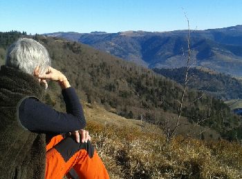
• au soleil d'hiver
Marche

Marche
• bie
Marche
Marche
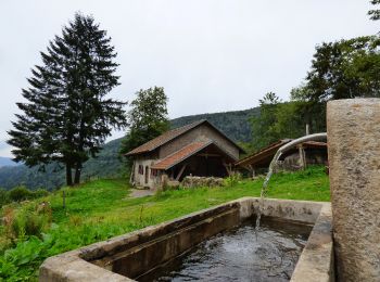
• Départ/retour parking carrières Carbinet ou parking Source de la Moselle
Marche
• Non reconnue
Marche
• Vosges
Marche

Marche
Marche
Marche
• File with points/tracks from Locus Map Pro/3.55.1 Très belle randonnée avec de beaux points de vue.
Marche
• une randonnée à faire en été quand il y a du soleil, ce qui permet d'être à l'ombre dans un versant nord humide surto...

A pied
• Départ au Mémorial du tunnel inachevé - Cuisine du Diable - Tête de Rouge Gazon - Châlet st Hubert -Treiackermatt - V...
Marche
• belles couleurs automnales dans une ambiance hivernale
A pied
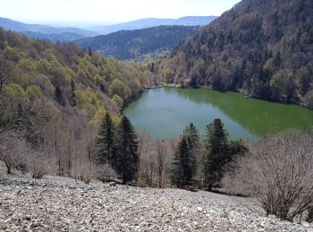
• Belle randonnée entre la Tête des Neufs Bois et la Tête des Russiers (le Steinkopf).
Marche
• parking sous le col de Bussang, côté Alsace. suivre le balisage jusqu'au sommet du Drumont en passant par le Gustiber...
20 randonnées affichées sur 50
Application GPS de randonnée GRATUITE
 SityTrail
IGN / Instituts géographiques
SityTrail World
Le monde est à vous