


11,3 km | 15,2 km-effort
Les Mazures : découvrez les meilleures randonnées : 53 pédestres et 12 à vélo ou VTT. Tous ces circuits, parcours, itinéraires et activités en plein air sont disponibles dans nos applications SityTrail pour smartphones et tablettes.

Marche


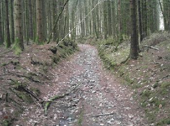
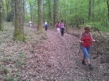
• A Travers les bois domaniaux, le circuit emprunte un chemin en corniche qui surplombe la vallée de la Faux et les Roc...

Marche
Marche
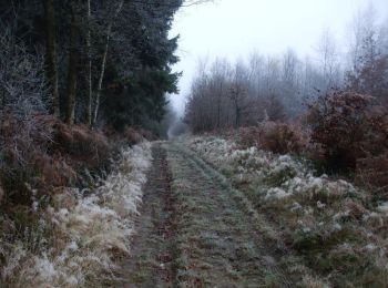
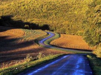
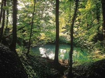
• Randonnée agréable avec de belles vues sur le barrage et la forêt avec quelques dénivelé.
V.T.T.
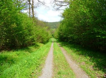
• Boucle au départ de la base nautique du lac des vieilles forges. Montée dans les bois vers Les Mazures, puis le bassi...
V.T.T.
• A Travers les bois domaniaux, le circuit emprunte un chemin en corniche qui surplombe la vallée de la Faux et les Roc...

V.T.T.
• LE LAC DE WITACKER ET LA LAC DES MARQUISADES Le Lac de Witacker (65ha) et les Maquisardes (66ha) ont été créés par ED...
Marche
• LE LAC DE WITACKER ET LA LAC DES MARQUISADES Le Lac de Witacker (65ha) et les Maquisardes (66ha) ont été créés par ED...
Marche
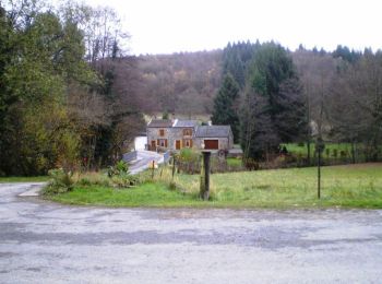
• Le Lac des Vielles Forges est situé près de Revin. Prévoir 5h de marche, d'autres photos ICI et sur mon BLOG.
Marche
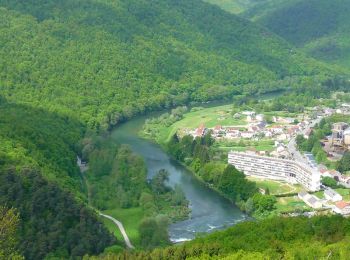
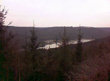
• cool point de vue sur revin et rocroi
Marche
V.T.T.
• Espace VTT FFC Vallées de Meuse et Semoy Circuit officiel labellisé par la Fédération Française de Cyclisme. Les Arde...
V.T.T.
• Espace VTT FFC Vallées de Meuse et Semoy Circuit officiel labellisé par la Fédération Française de Cyclisme. Les Arde...
V.T.T.
• Il s'agit d'une boucle de 12kms au départ du terrain de foot des Mazures, le départ s'effectue juste au coin du terra...
Marche
• Détails de la rando sur TraceGPS.com http://www.tracegps.com/fr/parcours/circuit5342.htm
Marche
• Détails de la rando sur TraceGPS.com http://www.tracegps.com/fr/parcours/circuit5343.htm
Marche
• eric brlle ra.ndo
Marche
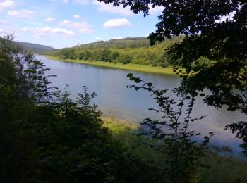
• belle vue du lac vitakert
Marche
Marche
• pluie volante jeudi
Marche
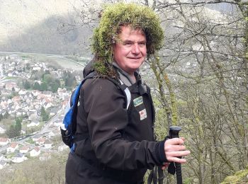
• cool
20 randonnées affichées sur 65
Application GPS de randonnée GRATUITE
 SityTrail
IGN / Instituts géographiques
SityTrail World
Le monde est à vous