


13,2 km | 14,6 km-effort
Sélestat : découvrez les meilleures randonnées : 24 pédestres et 18 à vélo ou VTT. Tous ces circuits, parcours, itinéraires et activités en plein air sont disponibles dans nos applications SityTrail pour smartphones et tablettes.
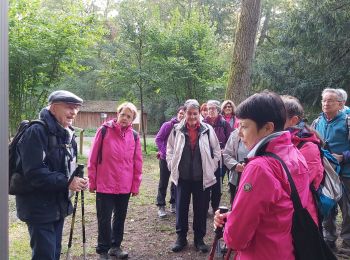
Marche


• Circuit proposé par l’Agence de Développement Touristique du Bas-Rhin. Le grand ried de l’Ill, entre Sélestat et le R...
Marche
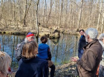
• Belle petite balade qui permet de découvrir les marais près de Sélestat : le Ried. Pour le plaisir des petits et gran...
Vélo électrique
• entre Sélestat et Erstein
Marche
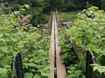
• Attention, quelques passages boueux et deux passerelles à franchir.
Vélo électrique
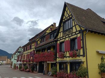
• route du vin
Marche
• Balade à faire pour ses 2 passerelles. Attention à se protéger des moustiques qui peuvent être très envahissant (zone...
Marche
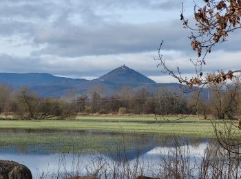
• Randonnée dans le ried toute plate. Aucune difficulté. possibilité de voir des hérons et des cigognes.
V.T.T.
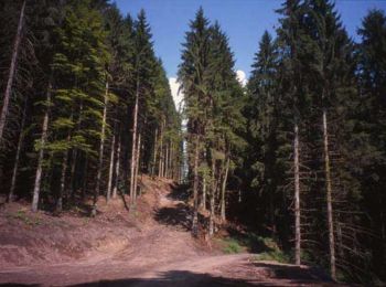
• Boucle partant de Selestat et montant sur l'Ungersberg, puis retour sur Selestat par le GR5. Quelques portions montan...
Marche
V.T.C.
• Tour VTC avec pause repas Obernai

Vélo électrique
• VAE
Vélo de route
• Beau circuit de 22 km à partager à deux de préférence pour pouvoir papoter tranquillement sans abus.

Marche
• Circuit de 5,7 km effort 6,3 km. Départ en face de la chapelle jusqu'à une première petite passerelle avec un banc où...
Marche
• Sortie Marché de Noël ASCEV
Marche
V.T.T.
• ballade Vtt
Marche

A pied
• Grande boucle sud de Sélestat en passant par la forêt de l'Ilwald de 18 km. Avec un dénivelé de 121 m.
Vélo électrique
• 47 km effort 49, altitude max 207 mini 165
Vélo électrique
• Longueur 53 km effort 59, altitude max 529 et mini 172 m. Dénivelé 547 m. Beau circuit tranquille d'une journée à vélo.
20 randonnées affichées sur 42
Application GPS de randonnée GRATUITE
 SityTrail
IGN / Instituts géographiques
SityTrail World
Le monde est à vous