


41 km | 52 km-effort
Urbeis : découvrez les meilleures randonnées : 11 pédestres, 1 à vélo ou VTT et 10 parcours équestres. Tous ces circuits, parcours, itinéraires et activités en plein air sont disponibles dans nos applications SityTrail pour smartphones et tablettes.

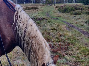
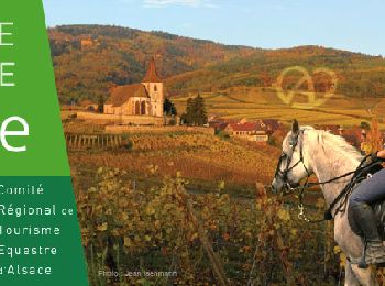
Randonnée équestre


• Circuit LB muttersholtz-climont
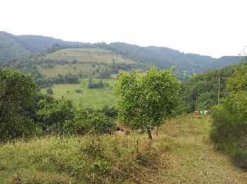
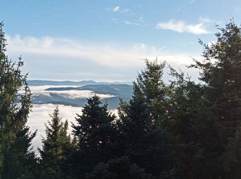
Marche
• Balisage : chevalet vert - chevalet jaune - anneau jaune - triangle vert. Faite le 02/09/2012 en 4h25 (dont 0h35 de p...
Marche
Randonnée équestre
Randonnée équestre
• Au pas avec plusieurs pauses
Randonnée équestre
Randonnée équestre

Marche
• ancienne mine et château en ruine.

Cheval
Cheval
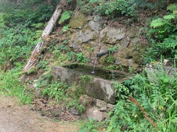
Marche
• More information on GPStracks.nl : http://www.gpstracks.nl
Cheval
Marche
Cheval
Marche

V.T.T.
Marche
Marche
Randonnée équestre

Autre activité
20 randonnées affichées sur 25
Application GPS de randonnée GRATUITE
 SityTrail
IGN / Instituts géographiques
SityTrail World
Le monde est à vous