


17,9 km | 27 km-effort
Plaine : découvrez les meilleures randonnées : 19 pédestres, 10 à vélo ou VTT et 10 parcours équestres. Tous ces circuits, parcours, itinéraires et activités en plein air sont disponibles dans nos applications SityTrail pour smartphones et tablettes.
Marche


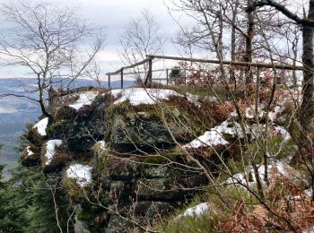
• Balisage : triangle jaune - rectangle jaune - disque jaune - triangle jaune. Faite le 09/06/2012 en 6h30 (dont 1h00 d...
Marche
• Balade
Marche
• Faite le 12/09/2021. Au départ de Plaine, église Saint-Arnould. D'après "Passion Vosges : Nos 50plus belles randonnée...
Randonnée équestre
Marche
Marche
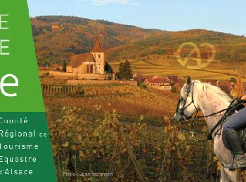
Randonnée équestre
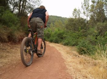
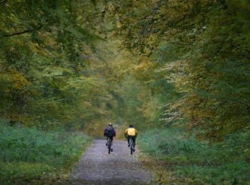
V.T.T.
• Les chemins sont souvent carrossables, excepté pour les descentes, sablonneux et dégagés d'arbres. La première diffic...
V.T.T.
• Ce circuit est très roulant. Les chemins sont souvent carrossables, sablonneux et dégagés d'arbres. La seule difficul...
V.T.T.
• Cette année, 740 participants ont participé à cette manifestation qui se bonifie à chaque fois. Faut-il le rappeler, ...

Marche
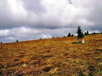
• Tour du Salm. Beau sentier, par moment de la route goudronnée surtout les derniers km.

Randonnée équestre
Marche
• marche
Cheval
Cheval
Cheval
Marche
•

V.T.T.
• Au départ de Champenay, le tracé commence par une grosse monté jusqu'au lieu dit "Les Fosses". Au virage à droite que...
V.T.T.
• Monsieur Météo avait annoncé un temps épouvantable pour ce dimanche 21 août 2005 (pluie continue, orages, etc...). Av...
Marche
20 randonnées affichées sur 41
Application GPS de randonnée GRATUITE
 SityTrail
IGN / Instituts géographiques
SityTrail World
Le monde est à vous