


16,5 km | 30 km-effort
Châtel : découvrez les meilleures randonnées : 63 pédestres et 9 à vélo ou VTT. Tous ces circuits, parcours, itinéraires et activités en plein air sont disponibles dans nos applications SityTrail pour smartphones et tablettes.
Marche


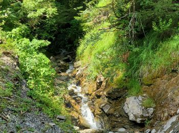
• départ de la randonnée 1 km en aval du col de Bassachaux (au dessus du Pré la Joux) retour par le même chemin avec pe...
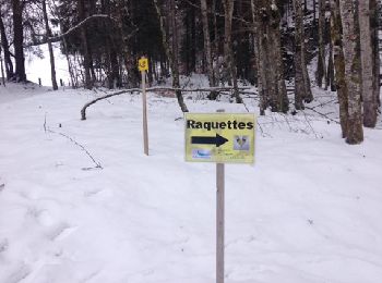
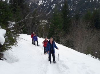
Raquettes à neige
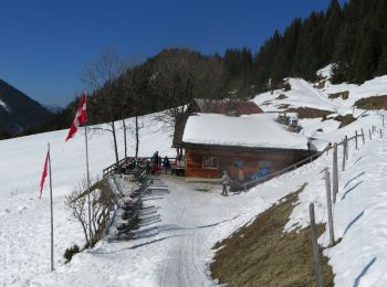
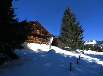
• Une belle randonnée sur châtel .Avec une Buvette
Raquettes à neige
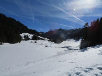
• Une randonnée au départ du lac de Vonnes .De Châtel en bus le N 4 de la place de l eglise .Une rando entre le France ...
Marche
• Boucle à partir de Trez les pierres
Raquettes à neige
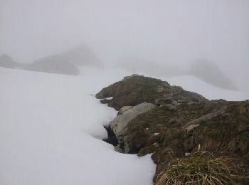
• Une belle randonnée au départ de Villapeyron (Châtel) La randonnée dans une réserve de chasse du Mont de Grange ou av...
Raquettes à neige
• Retour Châtel en navette
Marche
• Boucle depuis l'arrivée du télésiège des Rochassons

V.T.T.
Raquettes à neige
Marche
Marche

Marche
• Morgins
Marche
Marche
Marche
Marche
Marche
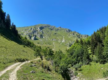
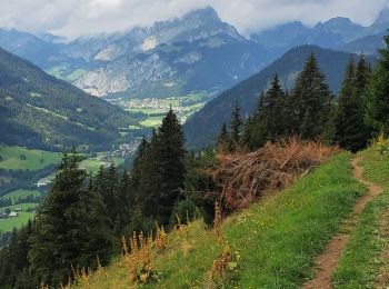
• Boucle par les alpages de Betzalin et Covagnes au départ de Pré la Joux au coeur d'un site Natura 2000. Traverser la ...
Raquettes à neige
• Une randonnée au départ du lac de Vonnes .De Châtel en bus le N 4 de la place de l eglise .Une rando entre le France ...
Marche
Marche
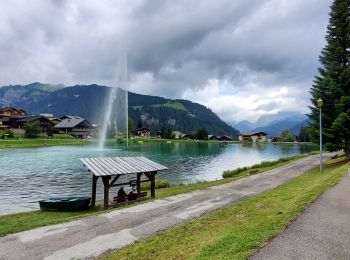
• Balade facile qui relie les 2 plans d'eau surmontant Châtel
20 randonnées affichées sur 101
Application GPS de randonnée GRATUITE
 SityTrail
IGN / Instituts géographiques
SityTrail World
Le monde est à vous