


11,6 km | 20 km-effort
Mont-Saxonnex : découvrez les meilleures randonnées : 34 pédestres et 1 à vélo ou VTT. Tous ces circuits, parcours, itinéraires et activités en plein air sont disponibles dans nos applications SityTrail pour smartphones et tablettes.
Marche


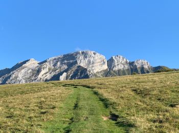
• En partant des Frachets, lieu-dit de Mont-Saxonex, les Rochers de Leschaux permettent une randonnée magnifique à trav...
Marche
• superbe randonnée

Marche
• BOUCLE... live 20211015 encadrée par "Les Rando Climbers" avec Karine Daguenet: "Riche expérience, tracé impressionna...

Marche
Marche
•
Marche
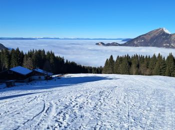
• Randonnée au départ du télésiège à Morsulaz. Agréable. Belle vue sur le lac. Possibilité de voir des bouquetins.
Marche
• belle rando, beau temps, jolie descente sur la glacière, avec chaînes passage techniques.
Marche
• Par Mont Saxonnex
Marche
Marche
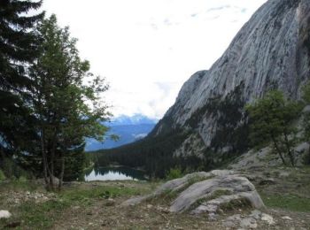
• lac benit
Marche
• En partant du parking du bété
Marche
• mont saxonex

Marche nordique
•
Marche
•
Marche
•
Raquettes à neige
Marche
Escalade
Marche
Marche
20 randonnées affichées sur 44
Application GPS de randonnée GRATUITE
 SityTrail
IGN / Instituts géographiques
SityTrail World
Le monde est à vous