


10,7 km | 28 km-effort
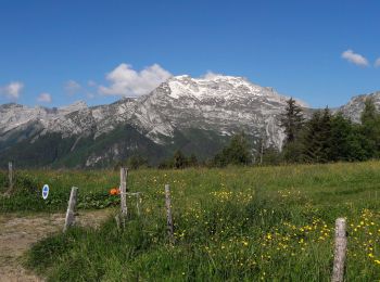
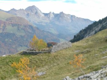
Les Clefs : découvrez les meilleures randonnées : 42 pédestres et 2 à vélo ou VTT. Tous ces circuits, parcours, itinéraires et activités en plein air sont disponibles dans nos applications SityTrail pour smartphones et tablettes.
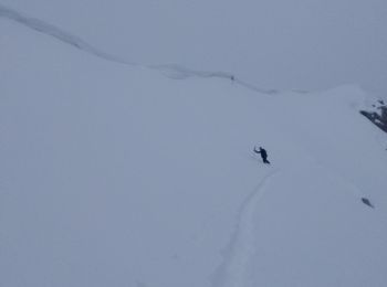
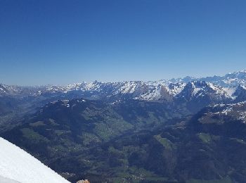
Ski de randonnée


• Des Chappes et descente le long du refuge de Rosairy.
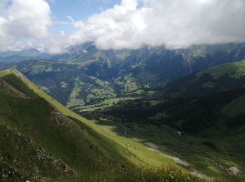
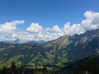
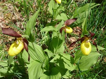
Marche
• Peu se faire beaucoup plus rapidement
Marche
• tour du sulens pierres vieille.
Marche
• les clefs plan bois
Autre activité
• la tournette voie normale ski rando
Autre activité
• ski de randonnée

Marche
Marche
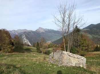
• La Pierre Carrée en boucle depuis Les Clefs par Chamossière à l’aller et Montisbrand au retour
Marche
• depart du col de plan bois
Marche
Marche
Marche
• Départ de l'Eglise des Clefs Montée en direct sur Plan Bois Montée au sommet Passage par le Petit Sulens et la Grande...
Marche
• Aller Bois du Mont Retour Fier
Marche
• Sulens et Plan du Tour
Marche
• Lasso col de Plan Bois
Marche
• gcrs

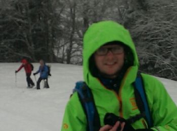
Raquettes à neige
• Plan du Tour en raquettes
Raquettes à neige
• Boucle raquette Sulens
Marche
• Sulens par chemin du facteur
Marche
• Plan du toutes montée par le Bois du Mont descente par la route
20 randonnées affichées sur 72
Application GPS de randonnée GRATUITE
 SityTrail
IGN / Instituts géographiques
SityTrail World
Le monde est à vous