


76 km | 95 km-effort
Cran-Gevrier : découvrez les meilleures randonnées : 2 pédestres et 8 à vélo ou VTT. Tous ces circuits, parcours, itinéraires et activités en plein air sont disponibles dans nos applications SityTrail pour smartphones et tablettes.
Vélo


• Départ de Cran Gevrier, direction Rumilly, puis Saint Germain la Chambotte, La Biolle, Gresy sur Aix, Cusy, Quintal e...

Vélo
• Au départ de Cran Gevrier, très proche banlieue d'Annecy. Seynod, Viuz la Chiesaz, Gruffy, Cusy, Aix les Bains, Le Bo...
Vélo
• Départ de Cran Gevrier (proche banlieue d'Annecy), Meythet, Pringy, Argonay, Villaz, Thorens Glières, Col des Fleurie...
Vélo
• Circuit empruntant principalement des routes secondaires. Quelques passages très pentus, mais pas trop long. Fait en ...
Vélo
• Circuit empruntant un maximum de petites routes, loin des grands axes de circulation. Nécessite environ 3h00 à 25 km/...
V.T.T.

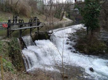
Marche

Roller
Vélo
Vélo
Marche
11 randonnées affichées sur 11
Application GPS de randonnée GRATUITE
 SityTrail
IGN / Instituts géographiques
SityTrail World
Le monde est à vous