


31 km | 48 km-effort
Annecy : découvrez les meilleures randonnées : 87 pédestres et 52 à vélo ou VTT. Tous ces circuits, parcours, itinéraires et activités en plein air sont disponibles dans nos applications SityTrail pour smartphones et tablettes.

V.T.T.


•
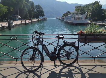
V.T.C.
• Très beau parcours " détente " sur des pistes cyclables très bien balisées (38 km).

Marche
• Depuis le parc animalier de la " Grande Jeanne " , un très beau parcours par un * sentier des crêtes * ombragé mais a...
Marche
• course avec tobias
Marche
• Depuis le parking des Puisots, face à l'entrée du centre de vacances, sur la RD41 en direction du Semnoz prendre la d...
Vélo
• Circuit proposé par le Conseil Général de Haute Savoie. Départ du bord du lac d'Annecy, stationnement à la préfecture...
Marche
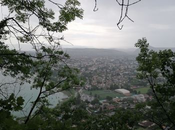
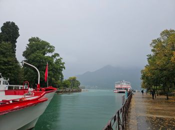
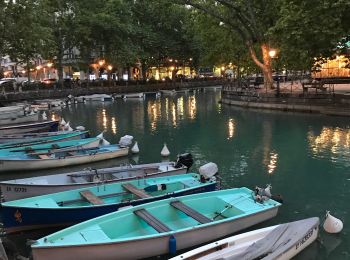
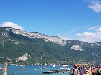
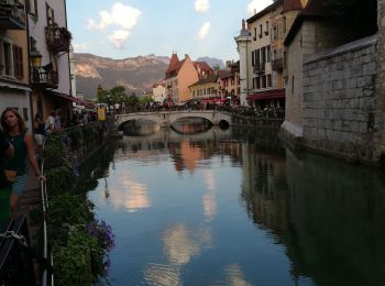
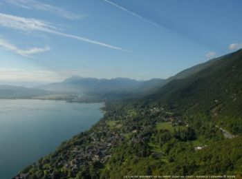
• Annecy est une ville des Alpes où le lac d'Annecy se déverse dans le Thiou. Elle est réputée pour sa vieille ville av...
Marche
Marche
• Annecy
Marche
Marche
Marche
Marche
Marche

Marche
• départ espanou-annecy

Course à pied
• Début du parcours de la Maxi Race 2012 à partir du Paquier. Pont des Amours, les Marquisats, Belvédère (1ère côte ass...

Marche
• Début du parcours de la Maxi Race 2012 à partir du Paquier. Pont des Amours, les Marquisats, Belvédère (1ère côte ass...
Vélo
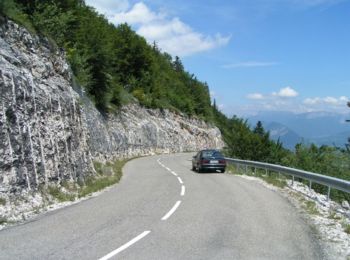
• Depuis Annecy via Aix les Bains, une boucle pour faire l'ascension du Relais du Chat 13km > 10% puis au retour ascens...
Course à pied
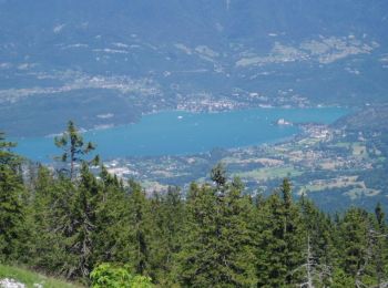
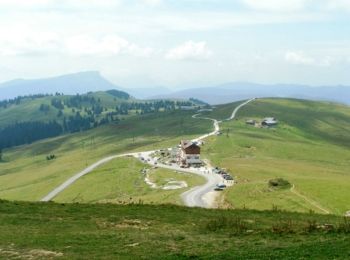
• Ascension du Crêt de Chatillon (1700m) depuis Annecy bord du Lac. Beau parcours à travers la forêt et les rochers.
Vélo
• Les cimes du lac d'Annecy est une cyclosportive organisée par LVO (Saint Jorioz 3200m d+). Elle aura lieu début octob...
20 randonnées affichées sur 155
Application GPS de randonnée GRATUITE
 SityTrail
IGN / Instituts géographiques
SityTrail World
Le monde est à vous