


63 km | 71 km-effort
Marlens : découvrez les meilleures randonnées : 10 pédestres et 15 à vélo ou VTT. Tous ces circuits, parcours, itinéraires et activités en plein air sont disponibles dans nos applications SityTrail pour smartphones et tablettes.

Vélo de route


• char
Marche
Marche
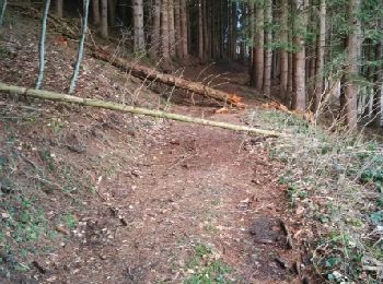
• D'Albertville à Thônes 3/4 - A l'assaut du Mont Charvin. L'étape 3 de notre périple, un départ depuis le camping du C...

Marche
• col du fer
V.T.T.
Vélo
• Col de la Forclaz de Queige - 871 m Signal de Bisanne - 1930 m Col des Saisies - 1633 m Col de la Lézette - 1786 m
Vélo
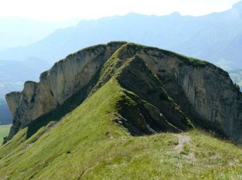
• Col de la Forclaz de Montmin - 1150 m
Vélo
• Col des Saisies - 1633 m Col de la Lézette - 1786 m Signal de Bisanne - 1930 m Col de la Forclaz de Queige - 871 m
Vélo
• Col de Montessuit - 640 m Col des Cyclotouristes - 1315 m Col de la Forclaz de Queige - 871 m
Vélo
• Col de Leschaux - 897 m Crêt de Châtillon - 1699 m Pas de l'Echelle - 640 m
Vélo
• Col de Pré Vernet - 917 m Col des Contrebandiers - 1054 m Col de Bluffy - 630 m
Vélo
• Col des Essérieux - 755 m Col du Marais - 833 m Col de la Croix Fry - 1467 m Col de Merdassier - 1500 m Col des Aravi...
Vélo
• Col de la Forclaz de Montmin - 1150 m Col de Bluffy - 630 m
Vélo
• Col de l'Arpettaz - 1581 m
Vélo
• Col des Essérieux - 755 m Col du Marais - 833 m Col de Plan Bois - 1299 m Col de l'Epine - 947 m
Vélo
• Col de Tamié - 907 m Collet de Tamié - 955 m Col du Vorger - 707 m
V.T.T.
Marche
Marche
Marche
20 randonnées affichées sur 25
Application GPS de randonnée GRATUITE
 SityTrail
IGN / Instituts géographiques
SityTrail World
Le monde est à vous