


10,7 km | 18,6 km-effort
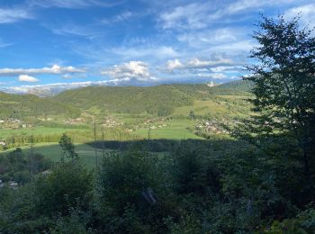
Habère-Poche : découvrez les meilleures randonnées : 13 pédestres et 10 à vélo ou VTT. Tous ces circuits, parcours, itinéraires et activités en plein air sont disponibles dans nos applications SityTrail pour smartphones et tablettes.
Marche


• Départ de Ramble au parking situé juste après l'intersection entre la D12 allant au col de Cou et la D246 qui mène au...
Marche
• superbe randonnée
Marche
V.T.T.
• Superbe rando vtt a Habere Poche . avec au col de l'Encrenaz un portage de velo sur 100 m une vingtaine de minute ma...

Marche
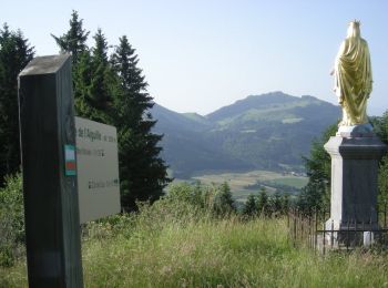
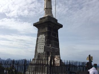
• mont forchat
Marche
• Mont Forchat
Marche

A pied

Ski de randonnée
• En boucle depuis le parking de la Frastaz a Habère-Poche
Ski de randonnée
• Depuis le parking de la station des Habères - la Frastaz.
Ski de randonnée
• Sur les pistes des Habères.

V.T.T.
• TEMPS PLUVIEUX ET FROID ! TERRAIN TRES GRAS
Marche
• belle rando, aucune difficulté, montée raide pour arriver au Mont Forchat
V.T.T.
• Départ place du village , avec beau parcours autour d Habere Poche
Marche
Marche

Trail

 12.385
sport
13.878
sport
V.T.T.
20 randonnées affichées sur 30
Application GPS de randonnée GRATUITE
 SityTrail
IGN / Instituts géographiques
SityTrail World
Le monde est à vous