


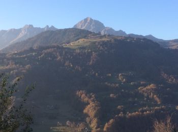
49 km | 74 km-effort
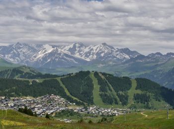
Villard-sur-Doron : découvrez les meilleures randonnées : 56 pédestres et 13 à vélo ou VTT. Tous ces circuits, parcours, itinéraires et activités en plein air sont disponibles dans nos applications SityTrail pour smartphones et tablettes.
Vélo


• Grande boucle assez difficile. Beaucoup de montées et aussi beaucoup de descentes…

V.T.T.
• Descente enduro de Bizane vers Albertville

Marche
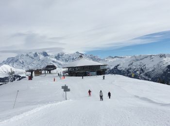
• Dénivelé pas réel car montre par le TS de la Legette et descente par le TS du Chard du Beurre.
Marche
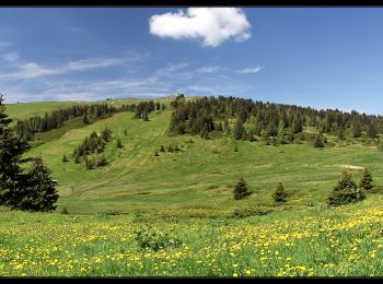
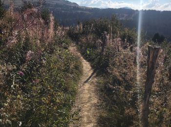
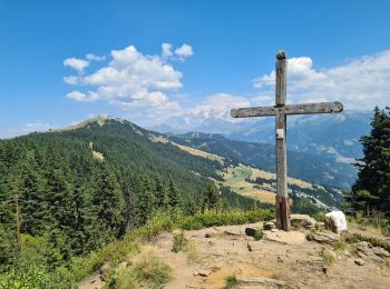
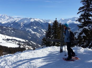
• Belle boucle, assez longue avec la visite de deux sommets voisins le Mont Bisanne et la Croix de Coste. Passage dans ...
Marche
Marche
Marche
Trail
Trail
Trail
Marche
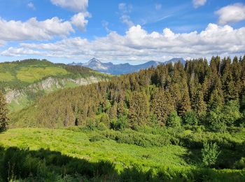
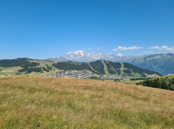
• Les SAISIES 2023-07-07
Marche
Marche
• Boucle avec pauses gourmandes !!
Marche
• Une halte au casse-croûte de Pachon pour déjeuner s'impose.
Marche
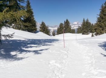
Raquettes à neige
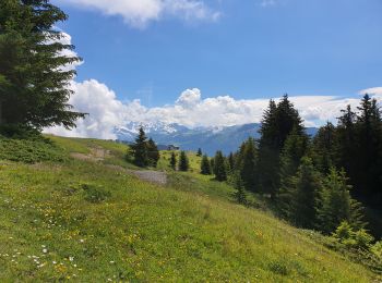
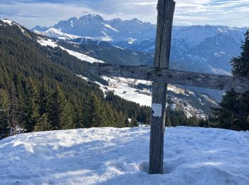
• Montée vers la Croix de Coste et bifurquer vers le Mont Bisanne
Raquettes à neige
Raquettes à neige
V.T.T.
• Enduro Saisies
Marche
20 randonnées affichées sur 89
Application GPS de randonnée GRATUITE
 SityTrail
IGN / Instituts géographiques
SityTrail World
Le monde est à vous