


4,1 km | 11,1 km-effort
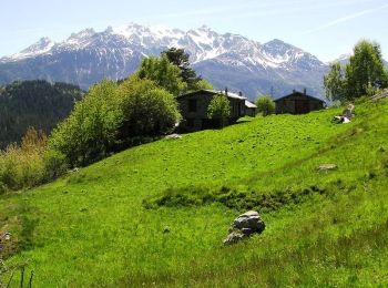
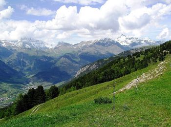
Avrieux : découvrez les meilleures randonnées : 23 pédestres et 6 à vélo ou VTT. Tous ces circuits, parcours, itinéraires et activités en plein air sont disponibles dans nos applications SityTrail pour smartphones et tablettes.
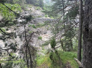
Marche


• Lac de Pelouse à coté de la Norma. Pas de fléchage. Départ chapelle St Anne 1678 m.
Marche
• Départ d'Arvieux. Il n'y a pas de neige jusqu'à 2200. Sinon je remercie les raquettistes pour leurs traces ! Le sol...
Marche
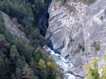
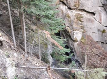
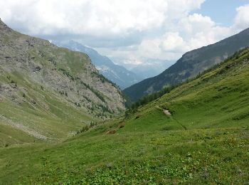
• Après le franchissement du ruisseau où le chemin s'arrête, il faut monter tout droit dans les pâturages ( attention s...
Marche
• Visite intéressante adaptée aux enfants.

Marche
Marche
Marche
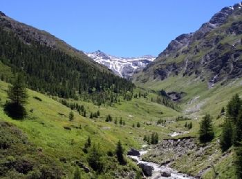
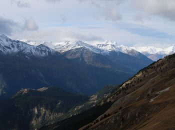
• très beau paysage
Marche
Marche
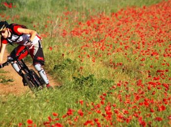
V.T.T.
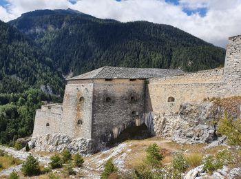
• Circuit proposé par Alpes Tour Cette sortie vous permet de découvrir les forts suivants : Replaton, Saint Gobain, Mar...

V.T.T.
• Circuit proposé par Alpes Tour Le départ est fixé à la salle des fêtes d'Avrieux. Nous prenons la direction du Bourge...
V.T.T.
• Circuit proposé par Alpes Tour Le départ est fixé à la salle des fêtes d'Avrieux.Nous prenons la direction des forts ...
V.T.T.
• Circuit proposé par Alpes Tour Cet itinéraire nous permet de découvrir un parcours flirtant avec le Parc National de ...
V.T.T.
• Circuit proposé par Alpes Tour Ce parcours emprunte jusqu’à Bramans le même circuit que celui du Monolithe. La suite ...
V.T.T.
• Circuit proposé par Alpes Tour Cette magnifique sortie près des glaciers de la Vanoise nous permet de découvrir pas m...
Marche
• Belle petite randonnée à l’ombre des pins.

Raquettes à neige
• Randonnée raquette en partant du pont du Nant (commune d'Avrieux) et pour aller sur le front de neige de La Repose (s...

Marche
• échappatoire
Marche
•

Autre activité
• d
20 randonnées affichées sur 35
Application GPS de randonnée GRATUITE
 SityTrail
IGN / Instituts géographiques
SityTrail World
Le monde est à vous