


4 km | 6,2 km-effort
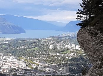
La Ravoire : découvrez les meilleures randonnées : 16 pédestres et 12 à vélo ou VTT. Tous ces circuits, parcours, itinéraires et activités en plein air sont disponibles dans nos applications SityTrail pour smartphones et tablettes.
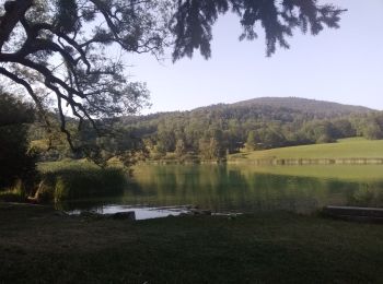
Marche


Vélo de route
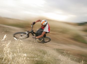
V.T.T.
• Circuit proposé par Alpes Tour Départ La Ravoire/ Saint Alban Leysse. Cette sortie comprend dans la première partie l...
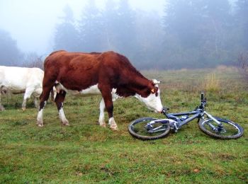
V.T.T.
• Circuit proposé par Alpes Tour Départ La Ravoire/ Saint Alban Leysse. Ce parcours débute par une route en bitume en d...

V.T.T.
• Circuit proposé par Alpes Tour Ce parcours permet de découvrir un massif très intéressant des Bauges, le secteur du l...
V.T.T.
• Circuit proposé par Alpes Tour Ce parcours est une énième variante qui permet la découverte du massif du mont Saint M...
V.T.T.
• Circuit proposé par Alpes Tour « Le départ de ce topo s'effectue depuis le rond point de l'Hopital à Chambéry (à prox...

V.T.T.
• Parcours Vtt de 40 km et denivelé de 850m partant du centre de La Ravoire vers Papareillan par les coteaux d'Apremont...

Marche
• marche
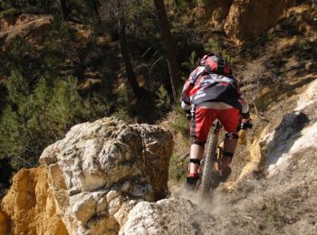
V.T.T.
• Par la Berte
V.T.T.
• Debut bitume puis forêt. 1h30 de montée très difficile
Vélo de route

Trail
V.T.T.
Marche
Marche
Marche
Marche
Marche
Marche
20 randonnées affichées sur 29
Application GPS de randonnée GRATUITE
 SityTrail
IGN / Instituts géographiques
SityTrail World
Le monde est à vous