


19,1 km | 0 m-effort
Ouroux : découvrez les meilleures randonnées : 17 pédestres, 9 à vélo ou VTT et 8 parcours équestres. Tous ces circuits, parcours, itinéraires et activités en plein air sont disponibles dans nos applications SityTrail pour smartphones et tablettes.
Marche


• Belle randonnée
A pied
• Randonnée créée par Office du Tourisme du Haut Beaujolais. Symbole: 3 Sapins sur fond rouge
Course à pied
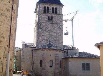
• De Ouroux à Chauffailles
Marche
• Circuit proposé par l’office de tourisme du Haut-Beaujolais. Départ de l’église d’Ouroux. Ce circuit, assez forestier...
Marche

A pied
• 3ème étape d'un trek de 6 jours. Départ du Château de Grosbois pour aller sur la commune d'Ouroux. Matinée très agréa...
V.T.C.
Marche
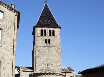
• D/A Parking au centre village ou parking derrière l''église

Vélo
Vélo

Vélo
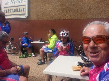
Vélo
Marche
• Circuit proposé par l’office de tourisme du Haut-Beaujolais. Départ de l’église d’Ouroux. Pour plus d'informations su...
Marche
• Circuit proposé par le l’office de tourisme du Haut-Beaujolais . Départ de l’église d’Ouroux. Pour plus d'information...

Randonnée équestre
• de beaux chemins... très valonné... de belles bâtisses.
Marche

Marche
• chemin de Compostelle
Marche
• Belle randonnée
Marche
• D/A parking de l'Église
Marche
• Prépa du trek 3/6 journée 3
20 randonnées affichées sur 36
Application GPS de randonnée GRATUITE
 SityTrail
IGN / Instituts géographiques
SityTrail World
Le monde est à vous