


10,9 km | 16,7 km-effort
Charix : découvrez les meilleures randonnées : 36 pédestres et 1 à vélo ou VTT. Tous ces circuits, parcours, itinéraires et activités en plein air sont disponibles dans nos applications SityTrail pour smartphones et tablettes.
Marche


• rando vraiment pas géniale ...

Moteur
• Tour de l'ain moto 2/4
Marche
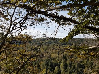
• très belle
Marche
A pied
A pied
A pied
A pied
Marche
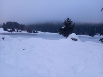
• raquettes
Marche
Marche
Marche
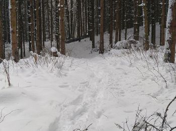
Raquettes à neige

Marche
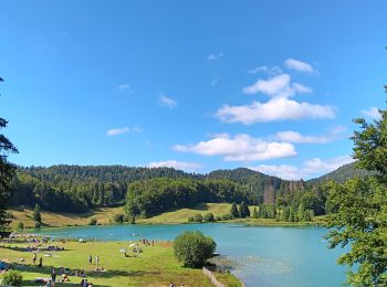
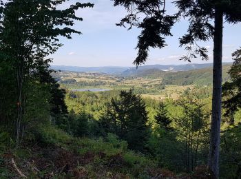
• Rando familiale agréable en forêt avec en prime, le tour du lac au retour
Marche
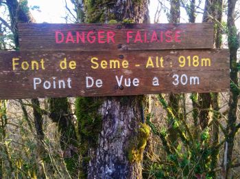
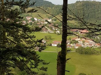
• Départ de Charix. Tour du crêt Torcet. Point de vue rochers de Sème.
V.T.T.
Marche
Marche
Marche
Marche
20 randonnées affichées sur 44
Application GPS de randonnée GRATUITE
 SityTrail
IGN / Instituts géographiques
SityTrail World
Le monde est à vous