


9,3 km | 16,8 km-effort
Confort : découvrez les meilleures randonnées : 16 pédestres. Tous ces circuits, parcours, itinéraires et activités en plein air sont disponibles dans nos applications SityTrail pour smartphones et tablettes.

Marche


• Randonnée en raquettes. Peu avant la station de Menthières, au lieu-dit le Château, la randonnée commence par la rout...
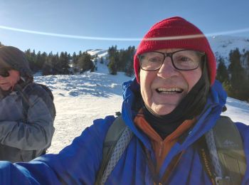
Raquettes à neige
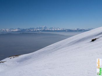
• belle

Marche
• Départ de confort ou du pont des pierres
Raquettes à neige
• Randonnée en raquettes. Peu avant la station de Menthières, au lieu-dit le Château, la randonnée commence par la rout...

Raquettes à neige

Autre activité
• RP 18/12/2016

Marche
•
Marche
Marche
Marche
Marche
Marche
Marche
Marche
Marche
Marche
Raquettes à neige
Marche

Ski de randonnée
Marche
20 randonnées affichées sur 24
Application GPS de randonnée GRATUITE
 SityTrail
IGN / Instituts géographiques
SityTrail World
Le monde est à vous