


12,7 km | 22 km-effort
Le Sappey-en-Chartreuse : découvrez les meilleures randonnées : 69 pédestres. Tous ces circuits, parcours, itinéraires et activités en plein air sont disponibles dans nos applications SityTrail pour smartphones et tablettes.
Marche


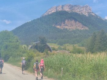
• Jusqu'à le point de bifurcation pour le belvédère de Roche Rousse, on a eu le soleil et sentier sec à la montée avec ...
Marche
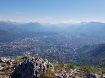
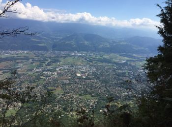
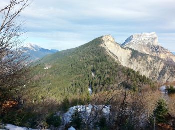
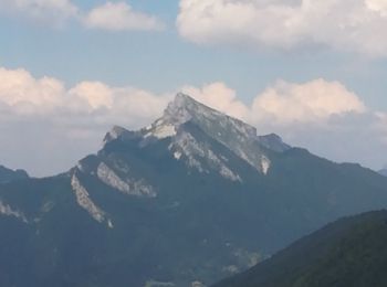
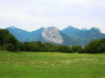
• belle balade à couvert, de "beaux" panorama depuis la crête si on ne regarde pas en bas.
Marche
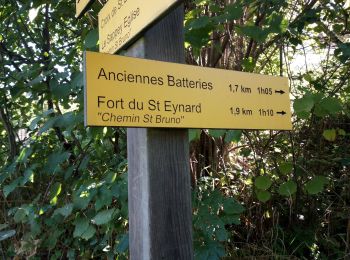
• Une belle boucle pour atteindre le fort du St Eynard par un itinéraire de montée original, et peu connu. Montée tranq...
Marche
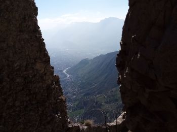
• Très beaux points de vue durant la balade le long de la falaise. Attention date d’ouverture du fort. Montée et descen...
Marche
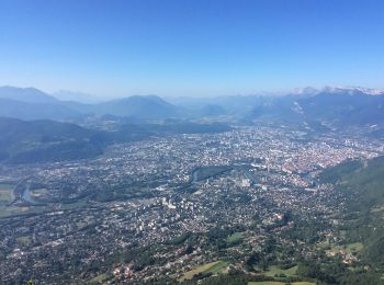
• vue sur Grenoble
Marche
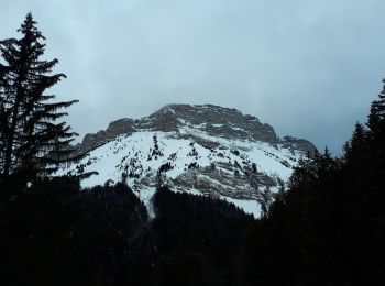
• Belle boucle avec un peu de neige au sol. 1h30 de montée jusqu'au habert, 1h pour traverser jusqu'à l'Emeindras du de...

Marche
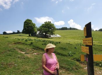
• Ce circuit fait partie des 10 circuits proposés par la Communauté de Communes du Balcon Sud de la Chartreuse. Départ ...
Marche
Raquettes à neige
Marche
• Montée au fort du St Eynard - Descente à la Bastille (1245 m en négatif)
Marche
Marche
Marche
• Tour du Massif de la Chartreuse. Itinéraire d'une rando de plusieurs jours à découper selon sa forme et la saison. De...

Marche
• Départ : foyer de ski de fond du Sappey-en-Charatreuse. Retour par la petite brèche. De mémoire, il-y-a moyen de coup...
Marche
• départ du Sappey en suivant la piste jusqu'à rejoindre le GR qu'on quitte rapidement pour suivre un sentier.
Marche
• Grimpe un Peu raide et un Peu de boue
Marche
• Suivre au début, les traces du GR Bien rester en haut des crêtes sur le parcours.
Marche
Marche
• facile

Raquettes à neige
• Attention 2 couloirs avalanches voir BRA
20 randonnées affichées sur 81
Application GPS de randonnée GRATUITE
 SityTrail
IGN / Instituts géographiques
SityTrail World
Le monde est à vous