


6,1 km | 6,8 km-effort
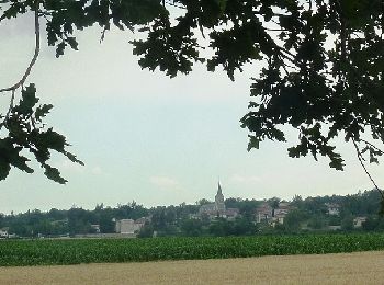
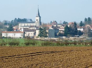
Nervieux : découvrez les meilleures randonnées : 6 pédestres, 2 à vélo ou VTT et 1 parcours équestres. Tous ces circuits, parcours, itinéraires et activités en plein air sont disponibles dans nos applications SityTrail pour smartphones et tablettes.
Marche


• Parking et Départ de la Place du Commerce à Nervieux, à l’intersection des routes D1 et D112 (direction Saint-Georges...
V.T.T.
• Parking est départ de la place derrière l'église. Pour plus d’infos, visitez le site de l' Office de Tourisme des Mon...
Marche

Randonnée équestre
• cavaliers

Marche
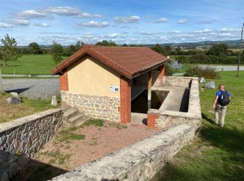
• Bord de Loire

V.T.T.
Marche
Marche
Marche
9 randonnées affichées sur 9
Application GPS de randonnée GRATUITE
 SityTrail
IGN / Instituts géographiques
SityTrail World
Le monde est à vous