


18,8 km | 31 km-effort
Malbosc : découvrez les meilleures randonnées : 15 pédestres. Tous ces circuits, parcours, itinéraires et activités en plein air sont disponibles dans nos applications SityTrail pour smartphones et tablettes.
Marche


Marche
Marche
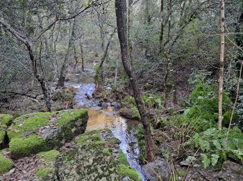
• rando sylvestre
Marche
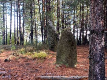
• Rando familial tranquille jusqu’au chant daille 911m

Marche
• resto les samedi midi a faire (sympa)

Trail
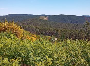
• Le Fabre, les Perriers , sommet aille , le malbosquet
Marche
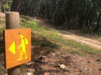
• boucle de 8 km au départ du camping

Autre activité
•
Marche
Marche
Marche
Marche
Marche
Marche
Marche
Marche

Parapente
Roller
18 randonnées affichées sur 18
Application GPS de randonnée GRATUITE
 SityTrail
IGN / Instituts géographiques
SityTrail World
Le monde est à vous