


26 km | 38 km-effort
Borée : découvrez les meilleures randonnées : 45 pédestres et 1 à vélo ou VTT. Tous ces circuits, parcours, itinéraires et activités en plein air sont disponibles dans nos applications SityTrail pour smartphones et tablettes.
Marche


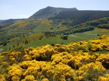
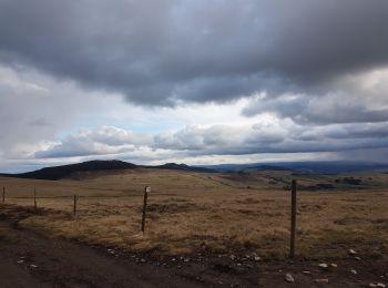
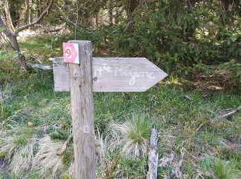
• Le Chier de Borée Au Pays du Vent Le Mont Mézenc Le Cirque des Boutières Magnifique rando
Marche
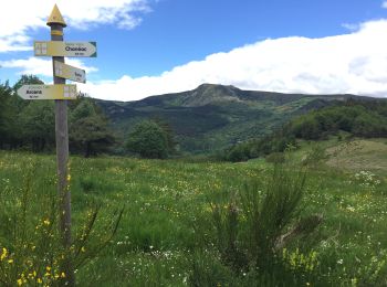
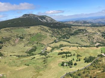
• Tour du Mont Mézenc au départ du col des Boutières et tour du Mont Alambre;
Marche
Marche
Marche
Marche

Marche
Marche
• Une petite balade bien sympathique avec au retour une pose bien venue !!!!
Marche
Marche
•
Tence, 19 juin 2017
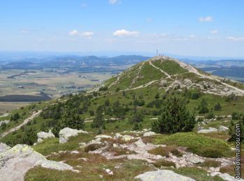
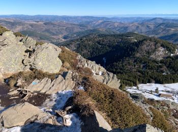
- Mont Mézinc -
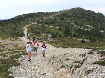
10h, départ de la Croix de Boutières (1506 m) . Chemin au pied du Mézinc ...
Marche
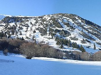
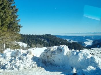
Ski de randonnée
• Grand beau, neige moyenne ( gelée ) environ 19 Km. Difficultés moyennes.
Marche
Marche
Marche
Marche
• Rando du 12/08/2020
Marche
• jo Renee mart Fred jack gene
Raquettes à neige
Marche
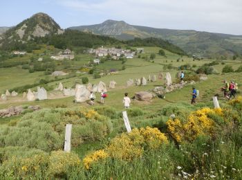
• Rando du 17/06/2024
Marche
• Mont Mézenc + bivouac 14-15/06/2022 Alexandre
20 randonnées affichées sur 51
Application GPS de randonnée GRATUITE
 SityTrail
IGN / Instituts géographiques
SityTrail World
Le monde est à vous