


13,9 km | 21 km-effort
Sainte-Eulalie : découvrez les meilleures randonnées : 40 pédestres, 4 à vélo ou VTT et 4 parcours équestres. Tous ces circuits, parcours, itinéraires et activités en plein air sont disponibles dans nos applications SityTrail pour smartphones et tablettes.
Marche


• Rando du 14/10/2024
Marche

Marche
Marche
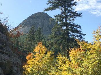
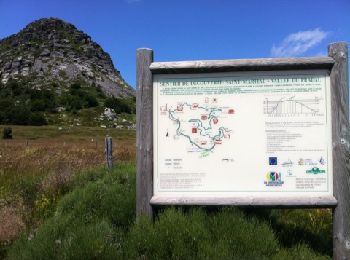
• Circuit autour du mont Gerbier de Jonc, facile mais attention à deux points assez mal indiqués si la végétation est d...
Cheval
• Boucle Le Bouteirou - Mont Gerbier de Jonc – Etape 2 De Villevielle à l’auberge Le Rousset du Lac en passant par le M...

V.T.T.
• Boucle Le Bouteirou - Mont Gerbier de Jonc – Etape 2 De Villevielle à l’auberge Le Rousset du Lac en passant par le M...

Marche
• Boucle Le Bouteirou - Mont Gerbier de Jonc – Etape 2 De Villevielle à l’auberge Le Rousset du Lac en passant par le M...
Marche
Marche
Marche
Marche
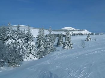
Raquettes à neige
Marche
• la couleur du balisage est effacée.
Marche

V.T.T.
• Distance 148km / effort 197 km / Dénivelé + 3619m / Dénivelé - 3893m
Marche
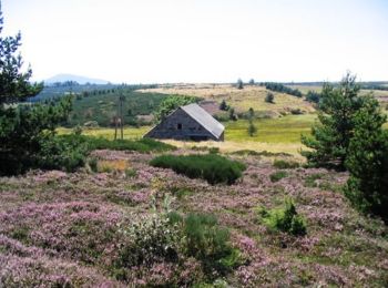
• Au départ de l'Auberge de Bourlatier
Marche
• rando du 16/06/2014
Marche
• Randonnee sportive Le sentier de départ est marqué mais en assez mauvais état jusqu’à la Riballasse ou l'on trouve u...
Marche
• Gîte d'étape à la ferme de malatré
Marche
• Langogne - la Bastide Puy-Laurent en 5 jours
20 randonnées affichées sur 53
Application GPS de randonnée GRATUITE
 SityTrail
IGN / Instituts géographiques
SityTrail World
Le monde est à vous