


14,1 km | 24 km-effort
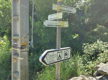
Labastide-sur-Bésorgues : découvrez les meilleures randonnées : 17 pédestres. Tous ces circuits, parcours, itinéraires et activités en plein air sont disponibles dans nos applications SityTrail pour smartphones et tablettes.
Marche


Marche
• boule de 15 km facile pour finir au bord de la rivière
Marche
Marche
Marche
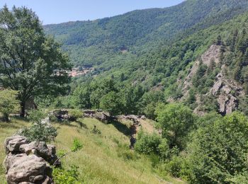
• beau tour des fay (hêtres) 1266 m au faîte de la balade. Soyez bien chaussés.
Marche

Marche
Marche
Marche

 13.718
sport
13.718
sport
Marche
Marche
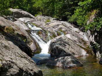
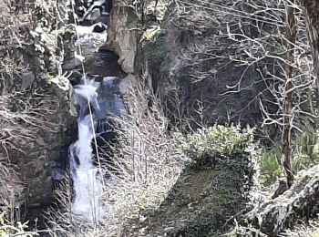
• cascade atypique
Marche
Marche
Marche
Marche
Marche
Marche
19 randonnées affichées sur 19
Application GPS de randonnée GRATUITE
 SityTrail
IGN / Instituts géographiques
SityTrail World
Le monde est à vous