


4,5 km | 7 km-effort
Chamalières-sur-Loire : découvrez les meilleures randonnées : 12 pédestres, 2 à vélo ou VTT et 3 parcours équestres. Tous ces circuits, parcours, itinéraires et activités en plein air sont disponibles dans nos applications SityTrail pour smartphones et tablettes.
Marche


• prudence. descentes raides
Marche
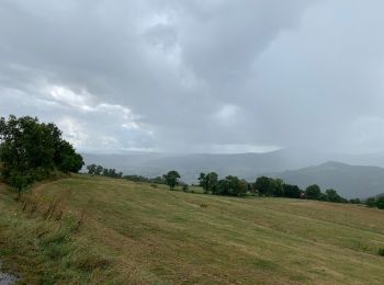
• Circuit autour du Suc de Barthoux

V.T.T.
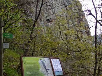
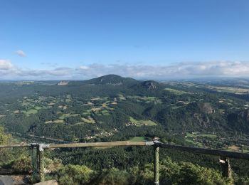
• Sur la centaine de sucs que compte la Haute-Loire, en voici quatre autour desquels nous vous proposons de tourner. Ce...
Marche
• Sur la centaine de sucs que compte la Haute-Loire, en voici quatre autour desquels nous vous proposons de tourner. Ce...

 8.59
8.59
sport
• Parfait

Marche
• Depuis Varennes via Costaros
Marche
• longue montee et descente rapide

Randonnée équestre
Marche

A pied
Randonnée équestre
Randonnée équestre
Marche
Marche
Marche
Marche

Course à pied

V.T.T.
18 randonnées affichées sur 18
Application GPS de randonnée GRATUITE
 SityTrail
IGN / Instituts géographiques
SityTrail World
Le monde est à vous