


18,7 km | 25 km-effort
Montfaucon-en-Velay : découvrez les meilleures randonnées : 5 pédestres et 2 à vélo ou VTT. Tous ces circuits, parcours, itinéraires et activités en plein air sont disponibles dans nos applications SityTrail pour smartphones et tablettes.

Marche


V.T.T.
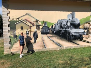
• Par Dunières.
Marche
• Chemin de Saint Régis: Montfaucon en Velay – Saint Jeures Cette étape et la précédente se tissent avec le chemin de C...

V.T.T.
• Espace VTT FFC Le Velay des 3 Rivières Circuit labellisé par la Fédération Française de Cyclisme. Circuit long et phy...
Marche
Marche
Marche
7 randonnées affichées sur 7
Application GPS de randonnée GRATUITE
 SityTrail
IGN / Instituts géographiques
SityTrail World
Le monde est à vous