


93 km | 131 km-effort
Brioude : découvrez les meilleures randonnées : 10 pédestres et 9 à vélo ou VTT. Tous ces circuits, parcours, itinéraires et activités en plein air sont disponibles dans nos applications SityTrail pour smartphones et tablettes.
Marche


• Randonnée en 3 jours de Brioude à Vorey (Haute-Loire), 94km, 3113m de dénivelée positive, 3000m de dénivelée négative...
Marche
• Etape 5 de la Via Arverna, chemin de Saint Jacques de Compostelle entre Clermont-Ferrand et Cahors. Départ de Brioude...
V.T.T.

V.T.T.
• Circuit difficile mais sans poussette où l'on passe de 400m à 900m d'altitude et puis l'on rentre en savourant de bel...

Marche
• randonnée itinérante 2024 jour 1
Marche
• pédestre
Marche
• brioude-saint didier sur doulon

Autre activité
• 2 boucles de 5 km

V.T.T.
• Circuit sportif pour pratiquants techniques car les descentes sont dangereuses pour des pratiquants novices.
V.T.T.
• Circuit très sympa qui loge la Senouire. Attention il faut être en forme pour monter à la Chomette depuis Lavaudieu.
V.T.T.
• Jolie boucle qui longe la rivière Allier puis la Senouire. Peu de difficultés techniques et pas de poussette.
Marche
V.T.T.
Marche
Vélo de route

Quad
Quad
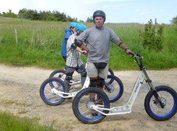
Vélo électrique
Marche
Marche
20 randonnées affichées sur 22
Application GPS de randonnée GRATUITE
 SityTrail
IGN / Instituts géographiques
SityTrail World
Le monde est à vous