


36 km | 50 km-effort
Chamaloc : découvrez les meilleures randonnées : 56 pédestres, 9 à vélo ou VTT et 1 parcours équestres. Tous ces circuits, parcours, itinéraires et activités en plein air sont disponibles dans nos applications SityTrail pour smartphones et tablettes.
V.T.T.


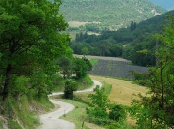
• Départ de Chamaloc, dans le col du Rousset, descente par Marignac, la bute de l'Aiglette dans le viseur, ça monte pui...
Marche
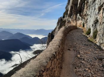
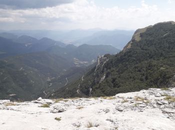
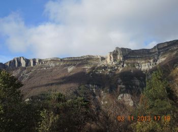
• Au départ du col du Rousset, entrée sud du tunnel. De très beaux panaoramas et une superbe montée le long de la falai...
Marche
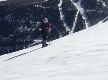
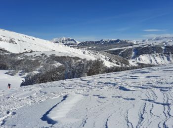
Raquettes à neige
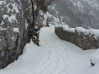
• 14/02/2019 départ sud du tunnel du Rousset la traversée du pierrier au départ est délicate
Marche
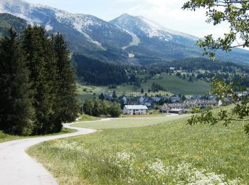
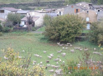
• De Chamaloc, prendre le col de Romeyer et redescendre sur les Planeaux. Au passage, quelques tombes, encore entretenu...

Ski de fond
• Départ tunnel du Rousset et traversée délicate du pierrier au-dessus

Marche
• Départ tunnel du Rousset et traversée délicate du pierrier au-dessus
Marche
Marche
• Départ sud du tunnel du Rousset la traversée du pierrier au départ est délicate
Marche
Marche
• Départ avant le tunnel du Rousset
Marche nordique

Marche
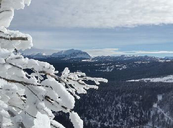
• Belle rando au départ du tunnel du Rousset, côté Die. Superbes points de vue. Pas de difficultés techniques.
Marche
• azur 17.05.2017
Marche nordique
Marche nordique
V.T.T.
• Le circuit débute au tunnel du Col du Rousset et se dirige sur le contour ouest de Vassieux en Vercors pour déboucher...
Marche
• Sur la route de Marignac par GR 95, vue sur le Glandasse la vallée de Chamaloc, le col du Rousset. Avec un peu de cha...
Marche
• Vue sur le Glandasse, la plaine de Dié et sur la ville, traversée de la forêt domaniale de Justin. Il est nécessaire ...
Marche
• très belle rando
20 randonnées affichées sur 71
Application GPS de randonnée GRATUITE
 SityTrail
IGN / Instituts géographiques
SityTrail World
Le monde est à vous