


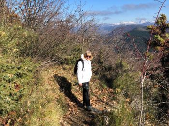
10,3 km | 21 km-effort
La Chaudière : découvrez les meilleures randonnées : 108 pédestres, 1 à vélo ou VTT et 12 parcours équestres. Tous ces circuits, parcours, itinéraires et activités en plein air sont disponibles dans nos applications SityTrail pour smartphones et tablettes.
Marche


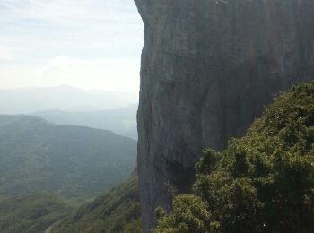
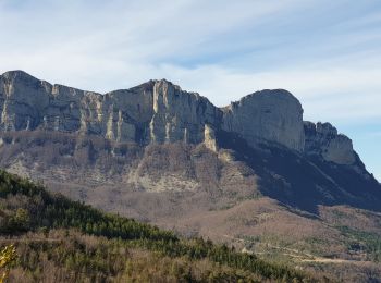
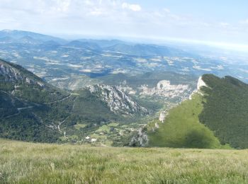
• Boucle des 3 Becs
Marche
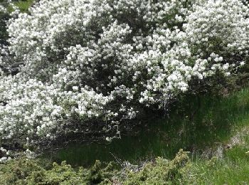
• Belle randonnée au pied des 3 Becs, pas de difficulté particulière Point d'intérêt , la petite chapelle des Sadoux b...
Marche
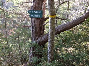
• Départ altitude 912 sous le col de la chaudière. Après 100m de piste prendre à gauche et suivre les points rouges ou ...
Marche
• Incontournable si vous êtes dans le secteur. le sentier est en cours de réhabilitation avec peut-être un peu trop de ...
Marche
• au retour, au col de la Baume, il faut trouver (dans le virage) il faut trouver la trace en tiret noir sur la carte q...
Marche
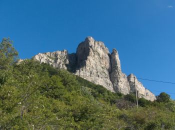
• Magnifique balade, presque pavée et très bien balisée. De splendides vues sur le Vercors, le Diois et plus loin encor...
Marche
Marche
• magnifique rando
Marche
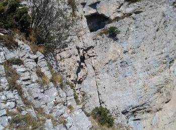
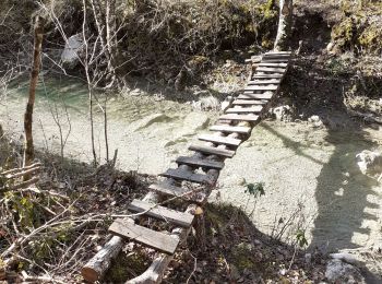
• Boucle au départ de la chaudière, en longeant la Coulance très Hard,surtout en février, car beaucoup d'eau. Plusieu...
Marche
• gêne jp 28 02 2021 corde 12m 2 sangles 4 dégaines itinéraire difficile ds le verrou bcp d eau

Marche
Marche
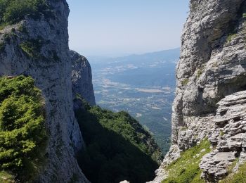
• Départ du col de La Chaudière (1032m) au parking du Pas de Siara... Géolocalisation (Google Maps) : https://goo.gl/ma...

Marche
Marche
• Départ du col de La Chaudière (1032m) au parking du Pas de Siara... Géolocalisation (Google Maps) : https://goo.gl/ma...
Marche
• les trois becs dans le sens anti horaire par le col de la chaudière
Marche
Marche
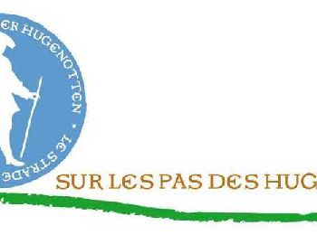
• « Sur les pas des Huguenots » consiste en la création d'un sentier international de grande randonnée suivant le tracé...
Marche
Marche
Marche
20 randonnées affichées sur 131
Application GPS de randonnée GRATUITE
 SityTrail
IGN / Instituts géographiques
SityTrail World
Le monde est à vous