


25 km | 32 km-effort
Le Vaudoué : découvrez les meilleures randonnées : 91 pédestres, 2 à vélo ou VTT et 3 parcours équestres. Tous ces circuits, parcours, itinéraires et activités en plein air sont disponibles dans nos applications SityTrail pour smartphones et tablettes.
Marche


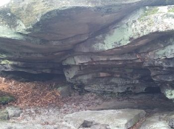
• 25 bosses et denicourt
A pied
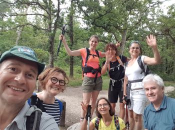
• Boucle avec quelques montées assez sympas Beau panorama à l'automne Tracée et menée par Christian pour le RCY
Marche
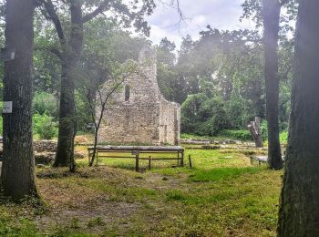
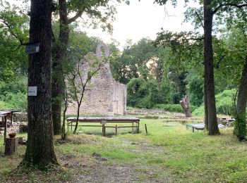
• Boucle effectuée en Juillet sous la houlette de Thierry. - le menhir près de Tousson - la chapelle en fin de parcours...

Marche
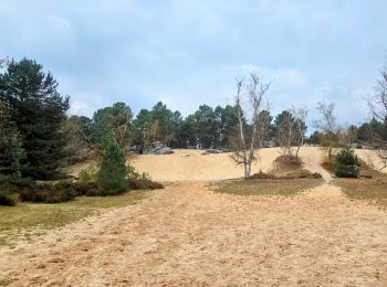
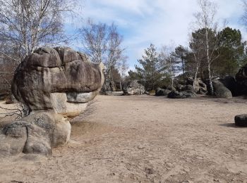
• Fontainebleau
Marche
• On se gare et on démarre du parking "Le Mée" en bordure de la forêt de Fontainebleau. Ensuite circuit sympa en forêt ...
Marche
• Randonnée pédestre
Marche
Marche
• départ P rocher Caillau 17km et 900 m D+

A pied
• Randonnée créée par ONF.
Marche
• les Bosseuses : Aline Françoise Jacques Lucile Mathilde Fabienne
Marche
• Départ des 21 bosses par pkg du Vaudoué. Bifurcation par le chemin de la Mée

Randonnée équestre
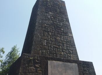
• Tracé Retour : du cimetière Le Vaudoué (77123), rue du Palais au Parking de la Canches aux Merciers, Noisy-sur-Ecole ...
 15.056
sport
Marche
• rrgh
Marche
• Une rando sans grande difficulté. Pour tous.
Marche
Marche
• y
Marche
• au
Marche
• avec le Dad
Marche
• dénivelé positif 210 m, pas de difficulté, pas de passage dans les rochers.
20 randonnées affichées sur 101
Application GPS de randonnée GRATUITE
 SityTrail
IGN / Instituts géographiques
SityTrail World
Le monde est à vous