


1,8 km | 2,2 km-effort
Craonne : découvrez les meilleures randonnées : 11 pédestres. Tous ces circuits, parcours, itinéraires et activités en plein air sont disponibles dans nos applications SityTrail pour smartphones et tablettes.
Marche


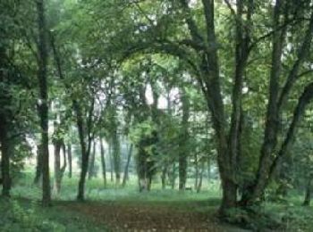
• Sur le Chemin des Dames, site phare de la mémoire militaire en Picardie, cette balade courte et facile au départ du b...

Marche
• Hxigxjc
Marche
• Départ de la tour d'Orientation sur le CD ...
Marche
• Départ de la tour d'Orientation sur le CD ...
Marche
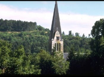
• Départ du centre ville de Craonne vers le plateau de Californie.
Marche
• Départ du parking de la mairie de Craonne, la mairie dans votre dos partir vers la gauche direction NNE la route mont...
Marche
• Ce petit parcours nous entraîne à la recherche des vestiges de l'ancien village de Craonne, rendu célèbre par la chan...
Marche
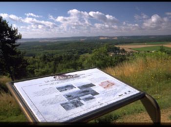
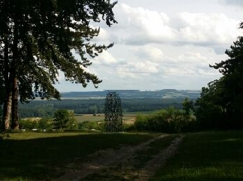
• Balade courte et facile au départ du belvédère du plateau de Californie. Le parcours en corniche, jalonné de panneaux...
Marche

 6.355
6.355
sport
Marche
Marche
• Balade courte et facile au départ du belvédère du plateau de Californie. Le parcours en corniche, jalonné de panneaux...
12 randonnées affichées sur 12
Application GPS de randonnée GRATUITE
 SityTrail
IGN / Instituts géographiques
SityTrail World
Le monde est à vous