


10,9 km | 14 km-effort
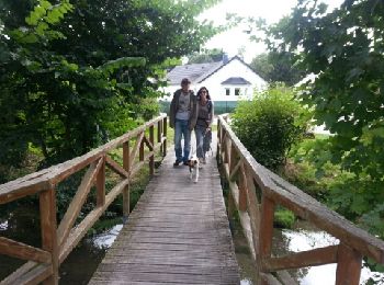
Poix-de-Picardie : découvrez les meilleures randonnées : 8 pédestres et 3 à vélo ou VTT. Tous ces circuits, parcours, itinéraires et activités en plein air sont disponibles dans nos applications SityTrail pour smartphones et tablettes.
Marche


•

Marche
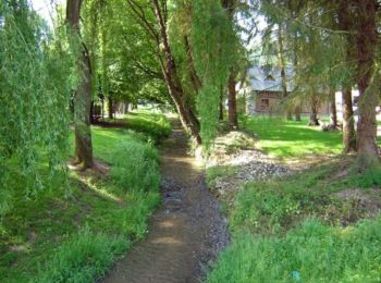
• Circuit proposé par l’Office de Tourisme de Poix de Picardie Départ du camping (23,140 km) ou de la mairie (18,7 km) ...
Marche
• Circuit proposé par l'Association Randonn'Evoissons Départ du terrain de camping de Poix-de-Picardie. Retrouvez cette...

Marche
• Circuit proposé par l’Office de Tourisme de Poix de Picardie. Départ de la place de la République à Poix-de-Picardie ...

Marche
• Circuit proposé par l’Office de Tourisme de Poix de Picardie. Départ de la Place de la république à Poix-de-Picardie ...
Vélo
• Les Evoissons - Poix de Picardie à Conty Un circuit à la découverte de vallées de Poix et des Evoissons. Un territoir...
Vélo
• Les Evoissons - Poix de Picardie Un circuit à la découverte de vallées de Poix et des Evoissons. Un territoire calme ...
Marche
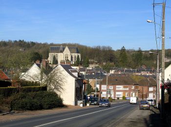
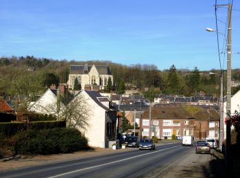
• Deux visages de ce bourg portant le nom de sa rivière : son nom patrimoine et sa campagne où voisinent bois et côteaux.
Marche
• Deux visages de ce bourg portant le nom de sa rivière : son nom patrimoine et sa campagne où voisinent bois et coteaux.

V.T.T.
• vtt

Autre activité
• RANDPO HOMMAGE A CEDRIC
Autre activité
• parcours quad et 4x4

Marche
• chemin de randonnée crée pour "un chemin, une école"

 7.028
7.028
sport
Autre activité
15 randonnées affichées sur 15
Application GPS de randonnée GRATUITE
 SityTrail
IGN / Instituts géographiques
SityTrail World
Le monde est à vous