


11,4 km | 13,5 km-effort
Ault : découvrez les meilleures randonnées : 41 pédestres. Tous ces circuits, parcours, itinéraires et activités en plein air sont disponibles dans nos applications SityTrail pour smartphones et tablettes.
Marche


• Imposante falaise blanche, paisible verdure du seul bois de la côte, traversée d’un bourg au nom interminable : rien ...

Marche
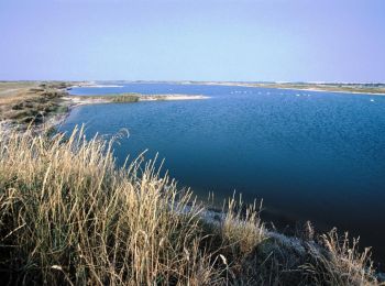
• Une promenade découverte au coeur des «Bas-Champs», ces terres conquises sur la mer où se niche le «hâble d’Ault». Po...
Marche
• Très belle balade sur les falaises. Possibilité de prendre le bus 702 ou le TAD entre le Tréport et Ault.
Marche
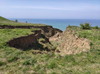
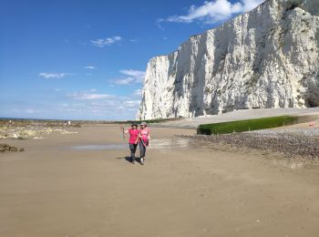
• Belle randonnée en bas des falaises. Ceci n'est pas un promenade sur du sable ou des galets mais une progression sur ...
Marche
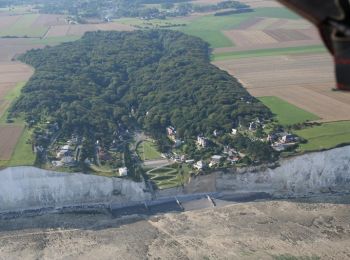
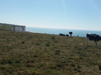
• Un bois littoral plein de charme : le bois de Cise qui fut à l’origine un bois sauvage puis un lieu de chasse à courr...
Marche
Marche
Marche
Marche

Marche nordique
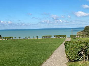
• Promenade dans la campagne, vers la mer et dans la ville de Ault avec de jolis points de vue.
Marche
• Une promenade découverte au coeur des «Bas-Champs», ces terres conquises sur la mer où se niche le «hâble d’Ault». Po...

Marche
• Belle boucle qui passe au-dessus des falaises d'Ault à Mer les Bains et revient par l'intérieur des terres via Eu.
Marche
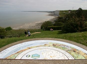
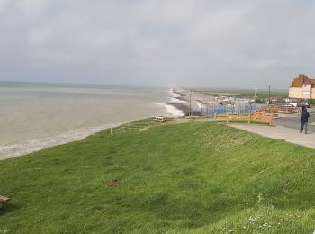
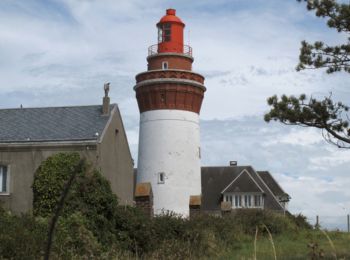
• Située au bord de la Manche et au sud du département de la Somme, Ault possède des falaises de craie surplombant une ...
Marche
• Promenade à Aung
Marche
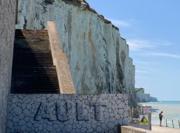
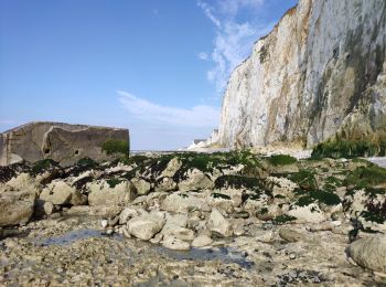
• Découvrez le site où commencent les falaises de la Côte d'Albâtre. Dominez la mer du haut de l'imposante falaise blan...
Marche
• Départ: Ault r de la Plaine #
Marche
• Départ: AULT Bd Michel Couillet # rue de la Mer.
Marche
• Petit tour de la localité et bord de mer
Marche
• En partie sur l'estran (partie assez difficile) et en haut des falaises. Belle vue et visite de Mers-sur-Mer, jolie p...
Marche
• Le parcours permet d'éviter les valleuses et descend en pente douce vers Mers. Découverte de la chapelle Sainte Edith...
20 randonnées affichées sur 45
Application GPS de randonnée GRATUITE
 SityTrail
IGN / Instituts géographiques
SityTrail World
Le monde est à vous