


11,2 km | 14,7 km-effort
Sangatte : découvrez les meilleures randonnées : 29 pédestres, 2 à vélo ou VTT et 1 parcours équestres. Tous ces circuits, parcours, itinéraires et activités en plein air sont disponibles dans nos applications SityTrail pour smartphones et tablettes.
Marche


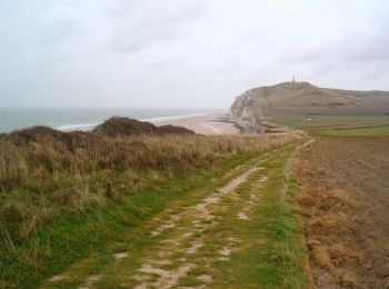
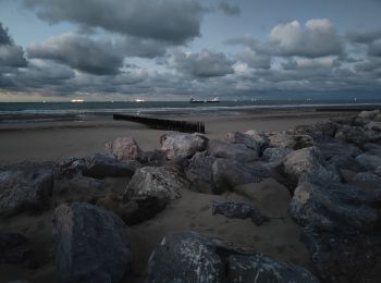
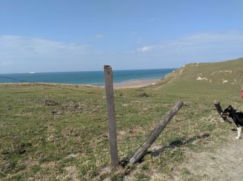
• De l'environnement exceptionnel du site des 2 Caps qui, face aux côtes anglaises, surplombe le passage maritime le pl...

Marche
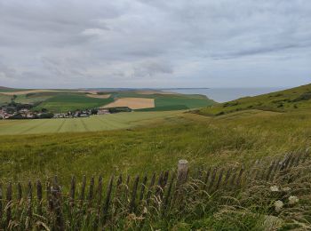
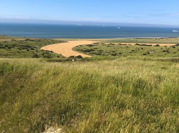
• Parcours qui emprunte les nombreux petits chemins qui serpentent le site naturel des Noires Mottes au dessus de Sanga...

Marche
• Détails de la rando sur TraceGPS.com http://www.tracegps.com/fr/parcours/circuit4011.htm
Marche
• beau parcours avec de belles vues environnantes. Peu de monde (hors saison et temps humide) Chiens a tenir en laisse.
Marche
• Cette promenade est juste époustouflante ! 😱 🅿️ Départ et Parking: Parking Cap Blanc Nez 62179 Sangatte (France) ...
Marche
• Belle boucle de 19km terre et mer, attention vous devez connaître les horaires de marée pour ne pas être coincé au pi...
Autre activité
Marche
• Depart cap Blanc nez
Marche
• Départ de la place de Sangatte Blériot plage.
Course à pied
• Parcours qui emprunte les nombreux petits chemins qui serpentent le site naturel des Noires Mottes au dessus de Sanga...

Autre activité
•
Marche
Marche

A pied
• Parcours sur les hauteurs de Sangatte et d’Escales, avec du dénivelé, environ 370 m, en deux fois, vous avez la possi...
Marche
• le 5 Janvier 2023
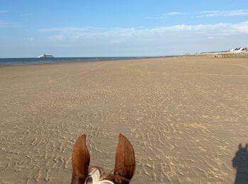
Randonnée équestre
Marche
• Sangatte jusqu'au Cap Gris nez et retour
Marche
Autre activité
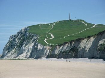
• cap blanc nez
Marche
• Een mooie GPS-wandeling van Janiek van Cap-Blanc-Nez en via Wissant terug langs landelijke wegen. Opgelet : check de ...
20 randonnées affichées sur 34
Application GPS de randonnée GRATUITE
 SityTrail
IGN / Instituts géographiques
SityTrail World
Le monde est à vous