


4,6 km | 5,1 km-effort
Condé-sur-l'Escaut : découvrez les meilleures randonnées : 33 pédestres, 2 à vélo ou VTT et 7 parcours équestres. Tous ces circuits, parcours, itinéraires et activités en plein air sont disponibles dans nos applications SityTrail pour smartphones et tablettes.

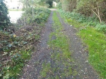
Marche


• Circuit proposé par le Comité Départemental du Tourisme du Nord et l’Office de tourisme de Condé sur l’Escaut Fiche n...
Marche
• Circuit proposé par le Comité Départemental du Tourisme du Nord et l’Office de tourisme de Condé sur l’Escaut Fiche n...
Marche
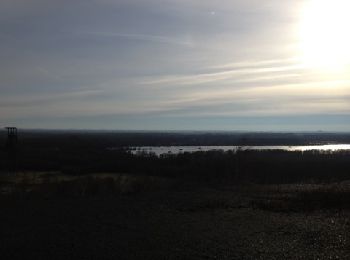
• Rando du 04-09-2024 Itinéraire dans un ancien site minier, l'ascension du terrel permet de bénéficier d'un panorama à...
Marche
Vélo de route
• 20juillet 2020
Marche
• « Mine de rien, l’oiseau fait son nid » Arpenter une ancienne zone d’activité minière, à la découverte des étangs et ...
Marche
• Circuit prenant pour base le circuit de la Circuit de la Canarderie(10 km) mais allongé afin de passer au pied de la ...
Marche
•
Marche
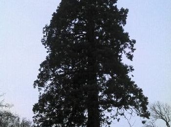
• Autour du Chateau de l'Ermitage à la découverte du séquia géant de la forêt de Bonsecourt
Marche

Marche
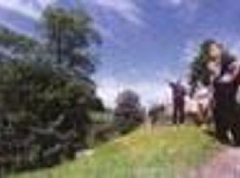
• gyj ki
Marche
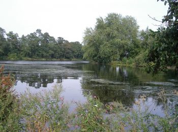
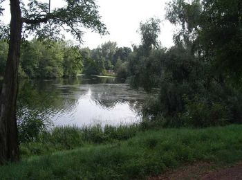
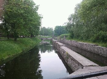
• Ce circuit au départ de la base de voile Chabaud Latour emprunte une partie du GR 122 pour contourner les étangs de C...
Marche
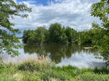
• Ces deux circuits familiauxparcourent la forêtdomaniale, d’unesuperficie de 720 hectares,étalés sur la France et laBe...
Marche
Marche
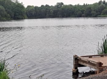
• Etang Chabaud Latour et alentours. Parcours bois et eau...
Vélo
• Départ du parking à côté grande surface.
Marche

A pied
Marche
Marche
20 randonnées affichées sur 41
Application GPS de randonnée GRATUITE
 SityTrail
IGN / Instituts géographiques
SityTrail World
Le monde est à vous