


5,2 km | 9,6 km-effort
Teruel : découvrez les meilleures randonnées : 21 pédestres et 2 parcours équestres. Tous ces circuits, parcours, itinéraires et activités en plein air sont disponibles dans nos applications SityTrail pour smartphones et tablettes.
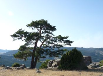
A pied


• Symbole: parallel horizontal bars green white
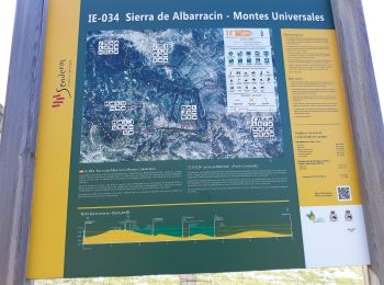
A pied
• Symbole: parallel horizontal bars green white
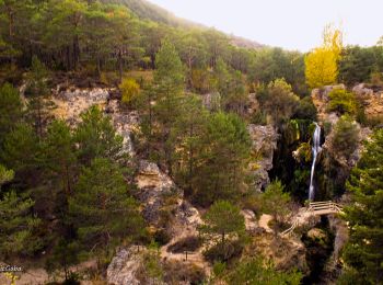
A pied
• Symbole: parallel horizontal bars green white
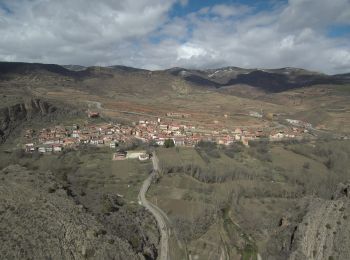
A pied
• Symbole: parallel horizontal bars green white

A pied
• Symbole: parallel horizontal bars green white
A pied
• Randonnée créée par Campo de Belchite - Bajo Aragón.
A pied
• Symbole: parallel horizontal bars green white
A pied
• Symbole: parallel horizontal bars green white
A pied
• Symbole: parallel horizontal bars green white
A pied
• Randonnée créée par Ayuntamiento d El Cuervo.

 32.214
sport
• Great and nd biautyfull 27 km easy descent and 4 small climb

4x4
• raid 4x4
A pied
A pied
A pied
Moteur
• Alcaniz Bozost
Moteur
• petit tour Vu Motorland. 1rre partie Route en construction ensuite chemin pas très roulant à deux. Grosse chaleur 38d...
Moteur
• Très belle balade un peu longue Honda Africa Twin

Marche
Marche
20 randonnées affichées sur 32
Application GPS de randonnée GRATUITE
 SityTrail
IGN / Instituts géographiques
SityTrail World
Le monde est à vous