


7 km | 9,7 km-effort
Boltaña : découvrez les meilleures randonnées : 5 pédestres et 1 à vélo ou VTT. Tous ces circuits, parcours, itinéraires et activités en plein air sont disponibles dans nos applications SityTrail pour smartphones et tablettes.
Marche


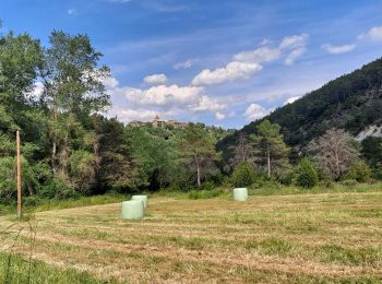
• Aller et retour le long du Rio Sieste avec baignade
Marche
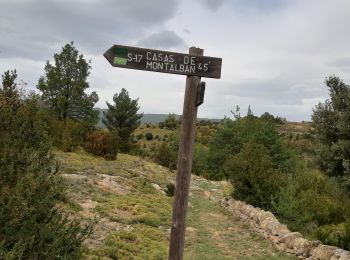
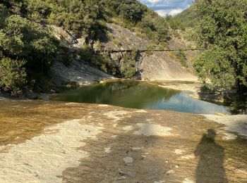
• canyon et pistes
 5.513
5.513
sport
Marche
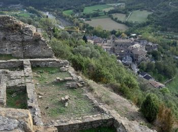
• chateau et chapelle
V.T.T.
• sierra de Guara

Marche
•
Marche
7 randonnées affichées sur 7
Application GPS de randonnée GRATUITE
 SityTrail
IGN / Instituts géographiques
SityTrail World
Le monde est à vous