


5,9 km | 9,9 km-effort
Pontevedra : découvrez les meilleures randonnées : 33 pédestres. Tous ces circuits, parcours, itinéraires et activités en plein air sont disponibles dans nos applications SityTrail pour smartphones et tablettes.
A pied


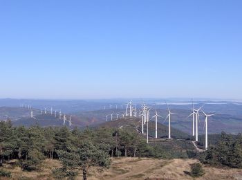
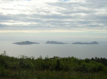
• Realizar esta ruta de sur a norte por la Serra do Faro permite disfrutar de amplias panorámicas en días despejados. L...

A pied
A pied

A pied
A pied

A pied
A pied
A pied
Marche
A pied
A pied
A pied
Marche

Marche
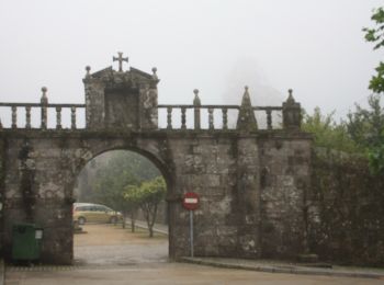
• Étape du chemin portugais
Marche
• Étape du chemin de st Jacques portugues
Marche
• Étape du camino portugues central
Marche
• Étape du camino portugues
Marche
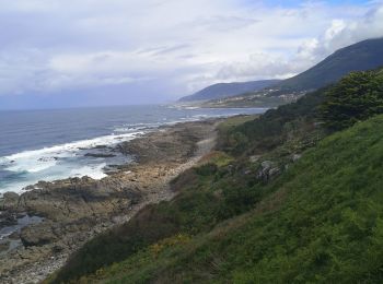
• Étape du chemin portugais porto par la côte
Marche
• Étape du porto st Jacques par la cote
Marche
• camino de levante
20 randonnées affichées sur 35
Application GPS de randonnée GRATUITE
 SityTrail
IGN / Instituts géographiques
SityTrail World
Le monde est à vous