


16,3 km | 28 km-effort
Bossòst : découvrez les meilleures randonnées : 12 pédestres. Tous ces circuits, parcours, itinéraires et activités en plein air sont disponibles dans nos applications SityTrail pour smartphones et tablettes.
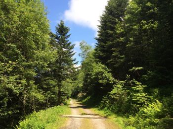
Marche


Marche
Marche

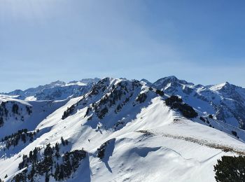
Raquettes à neige
• Randonnée hivernale depuis le col de Portillon vers le Pouylane, avec possibilité de continuer vers l'Entecade en 15 ...

Marche
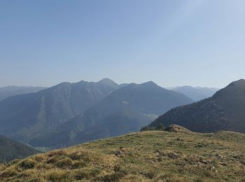
• Pic d'Aubas, pic de Trona, pic d'Arres

Moteur
• Aussac Bosozt Tardiente Honda Africa Twin
Raquettes à neige
Marche
Marche
Marche
Marche
Marche
Raquettes à neige
Raquettes à neige
Marche
Marche
Marche
Raquettes à neige
18 randonnées affichées sur 18
Application GPS de randonnée GRATUITE
 SityTrail
IGN / Instituts géographiques
SityTrail World
Le monde est à vous