


4,6 km | 5,3 km-effort
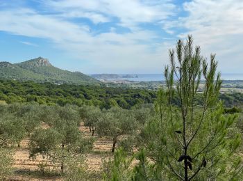
Torroella de Montgrí : découvrez les meilleures randonnées : 33 pédestres et 1 à vélo ou VTT. Tous ces circuits, parcours, itinéraires et activités en plein air sont disponibles dans nos applications SityTrail pour smartphones et tablettes.

Marche


• .

Marche
• ☀️
Marche
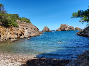
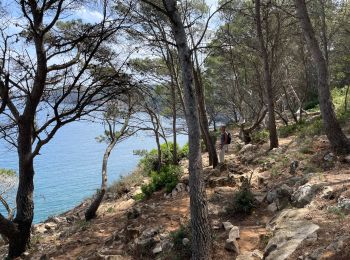
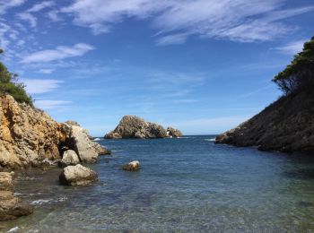
• Départ Cala Mongo à l'Escala jusqu'au Cap Castell et la Cala Ferriol

Marche
• nature et calme
A pied
A pied

Marche
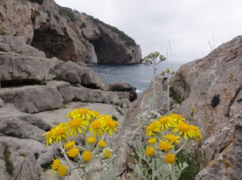
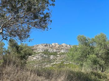
• Splendide, les sujet au vertige s'abstenir

Marche
• Splendide, les sujet au vertige s'abstenir
Marche
• 😀
Marche
• 😀
Marche
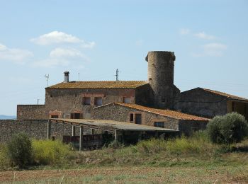
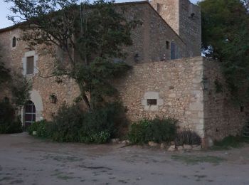
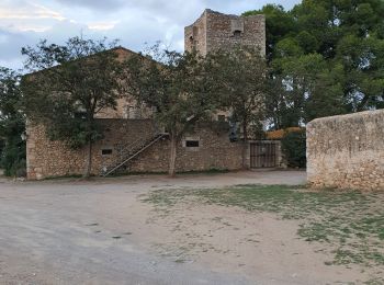
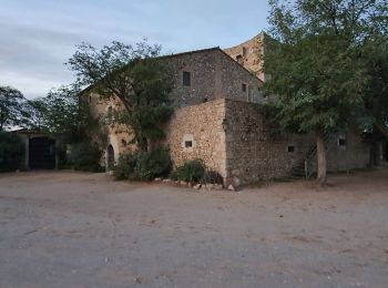
• boucle à Sobrestany
Marche
Marche
• durée une heure vingt
Marche

Marche
Marche
Marche
A pied
Marche
Marche
20 randonnées affichées sur 36
Application GPS de randonnée GRATUITE
 SityTrail
IGN / Instituts géographiques
SityTrail World
Le monde est à vous