


26 km | 28 km-effort
Alicante : découvrez les meilleures randonnées : 60 pédestres et 10 à vélo ou VTT. Tous ces circuits, parcours, itinéraires et activités en plein air sont disponibles dans nos applications SityTrail pour smartphones et tablettes.
![Randonnée A pied Santa Pola - [GR 232] Vuelta al término de Santa Pola - Photo](https://media.geolcdn.com/t/350/260/2a4cd58a-bb85-479c-a41b-8fff5881c81d.jpeg&format=jpg&maxdim=2)
A pied


• Site web: http://www.senderosgr.es/es/gr-232-vuelta-al-termino-de-santa-pola/
Marche
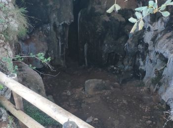
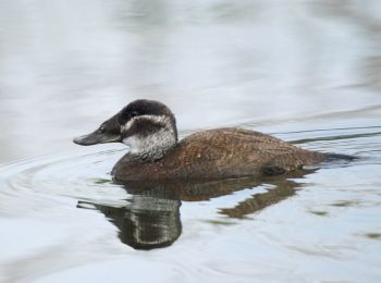
• monté du Champs de tir retour par les grottes
Marche
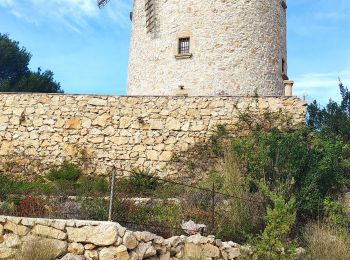
• randonnée au départ du port monté par le GR jusqu'au phare de cabo san Antonio, puis retour par les moulins
Marche
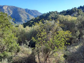
• Facile mais pas ombragée....avec traversée et visite du charmant petit village d Orxeta... Jolie vues plongeante sur ...
Marche
• Bonitos miradores de la bahia de Calpe y Altea.. con caminos al pie del acantilado de la Olta bajo pinos.
A pied
A pied
Marche
• superbe randonnee
Marche
• superbe et facile
Marche
• We tried to stay along the coast as much as possible. We lunch at the end of the walk. If you still have energy, you ...
Marche nordique
Marche
• Muy bonita....y interesante...
Marche
• belles vues sur montagne et mer
A pied
A pied
Autre activité

 10.029
sport
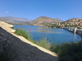
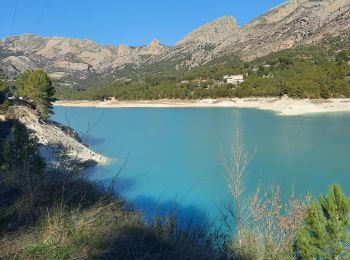
• Barrage
9.265
sport
• Espagne 1

Vélo électrique
• Traverser Dénia et par la campagne vers Jesus Pobre. Il fait chaud.
Vélo électrique
• Trajet pour aller chercher du pain
20 randonnées affichées sur 77
Application GPS de randonnée GRATUITE
 SityTrail
IGN / Instituts géographiques
SityTrail World
Le monde est à vous