


11,3 km | 19,8 km-effort
La Orotava : découvrez les meilleures randonnées : 67 pédestres. Tous ces circuits, parcours, itinéraires et activités en plein air sont disponibles dans nos applications SityTrail pour smartphones et tablettes.
A pied


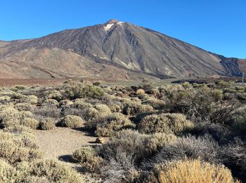
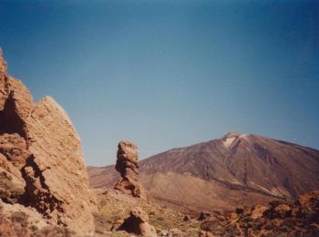
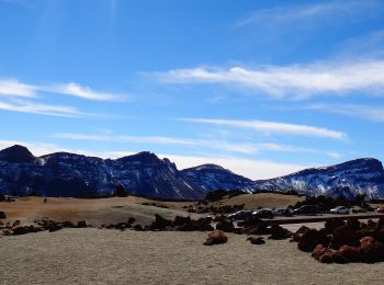
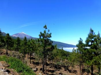
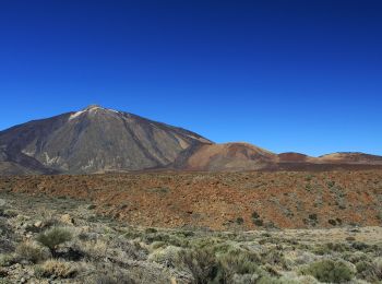
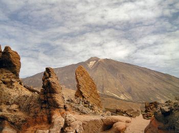
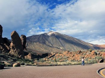
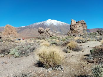
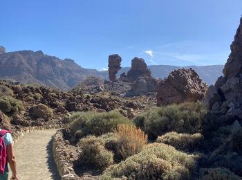
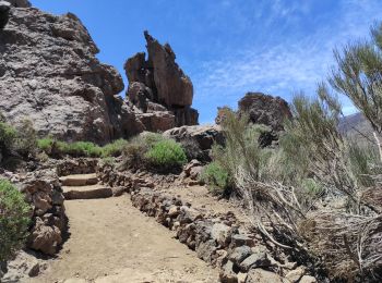
• En face le Teide TREK Allibert en octobre 2023 5eme journée le jeudi
Marche
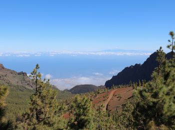
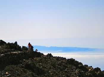
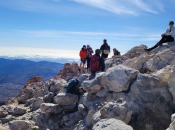
• Ascension sommet Espagne 3718 m TREK Allibert en octobre 2023 6eme journée le vendredi
A pied
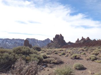
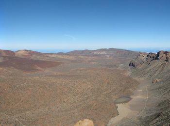
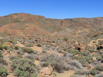
• Randonnée créée par Parque Nacional del Teide.
A pied
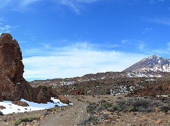
• Randonnée créée par Parque Nacional del Teide.
A pied
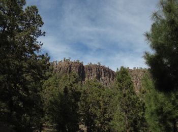
• Randonnée créée par Cabildo Insular de Tenerife. Symbole: parallel horizontal bars green white
A pied
• The Way is signposted annually
A pied
• Randonnée créée par Parque Nacional del Teide.
A pied
• Randonnée créée par Parque Nacional del Teide. El sendero finaliza en la pista de Seiete cañadas, que conecta, de no...
A pied
• Randonnée créée par Parque Nacional del Teide.
A pied
• Randonnée créée par Parque Nacional del Teide.
A pied
• Randonnée créée par Parque Nacional del Teide.
A pied
• Randonnée créée par Parque Nacional del Teide.
A pied
• Randonnée créée par Parque Nacional del Teide.
A pied
• Randonnée créée par Parque Nacional del Teide.
A pied
• Randonnée créée par Parque Nacional del Teide.
A pied
• Randonnée créée par Parque Nacional del Teide.
A pied
• Randonnée créée par Parque Nacional del Teide.
Marche
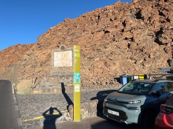
• Départ depuis Montana Blanca. Autorisation obligatoire et gratuite à partir de la gare supérieure du téléphérique. De...
Marche
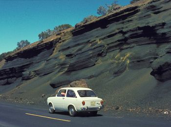
• Morceau le long de la route
Marche
• sendero 26 + sendero 3
20 randonnées affichées sur 68
Application GPS de randonnée GRATUITE
 SityTrail
IGN / Instituts géographiques
SityTrail World
Le monde est à vous