


12,8 km | 25 km-effort
Sigchos : découvrez les meilleures randonnées : 4 pédestres. Tous ces circuits, parcours, itinéraires et activités en plein air sont disponibles dans nos applications SityTrail pour smartphones et tablettes.
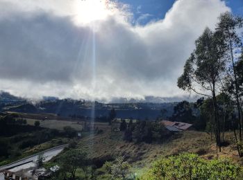
Marche


• Caminata de 3 días desde Sigchos hasta la Laguna del Quilotoa pasando por Isinvili y Chugchilan. La laguna del Quilot...
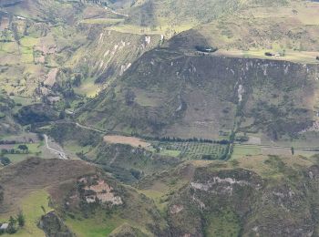
Marche
• Caminata de 3 días desde Sigchos hasta la Laguna del Quilotoa pasando por Isinvili y Chugchilan. La laguna del Quilot...
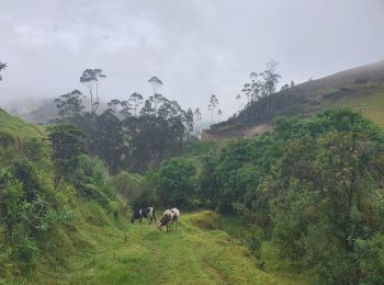
Marche

Marche
4 randonnées affichées sur 4
Application GPS de randonnée GRATUITE
 SityTrail
IGN / Instituts géographiques
SityTrail World
Le monde est à vous