


3,2 km | 4,3 km-effort
Region Sjælland : découvrez les meilleures randonnées : 44 pédestres et 1 à vélo ou VTT. Tous ces circuits, parcours, itinéraires et activités en plein air sont disponibles dans nos applications SityTrail pour smartphones et tablettes.

A pied


• Randonnée créée par Naturstyrelsen.

A pied
• Randonnée créée par Sjællandsleden.
A pied
• Randonnée créée par Sjællandsleden.
A pied
• Randonnée créée par Sjællandsleden/Lolland Kommune.
A pied
• Randonnée créée par Sjællandsleden/Lolland Kommune.
A pied
• Randonnée créée par Sjællandsleden/Stevns Kommune.
A pied
• Randonnée créée par Sjællandsleden/Stevns Kommune.
A pied
• not waymarked
A pied
• Randonnée créée par Lodsejerne og Stevns Kommune.
A pied
• Randonnée créée par spor.dk.
A pied
• Randonnée créée par Sjællandsleden/Lolland Kommune.
A pied
• Randonnée créée par Naturstyrelsen.
A pied
• Randonnée créée par Naturstyrelsen.
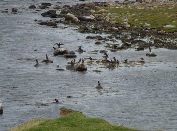
Marche
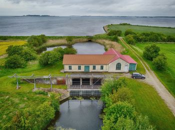
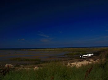
• Superbe petite randonnée dans un paysage de bout du monde, moutons, oiseaux migrateurs, avec un peu de chance vous po...
A pied
A pied
A pied
A pied
A pied
20 randonnées affichées sur 48
Application GPS de randonnée GRATUITE
 SityTrail
IGN / Instituts géographiques
SityTrail World
Le monde est à vous