


4,1 km | 4,6 km-effort
Winsen (Aller) : découvrez les meilleures randonnées : 4 pédestres. Tous ces circuits, parcours, itinéraires et activités en plein air sont disponibles dans nos applications SityTrail pour smartphones et tablettes.
A pied


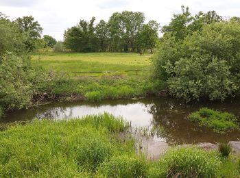
• Die Wanderung führt durch das Waldgebiet östlich von Wolthausen. Teile der Tour verlaufen am Talrand der Örtze- Niede...
A pied
• Die Wanderung führt durch das Waldgebiet östlich von Wolthausen. Teile der Tour verlaufen am Talrand der Örtze-Nieder...
A pied
• Randonnée créée par Lüneburger Heide GmbH.
A pied
4 randonnées affichées sur 4
Application GPS de randonnée GRATUITE
 SityTrail
IGN / Instituts géographiques
SityTrail World
Le monde est à vous