![](/images/other/stat-length.png)
- Randonnées
- Outdoor
- Allemagne
- Hesse
- Landkreis Fulda
- Poppenhausen
Poppenhausen, Landkreis Fulda : Les meilleures randonnées, itinéraires, parcours, balades et promenades
Poppenhausen : découvrez les meilleures randonnées : 17 pédestres. Tous ces circuits, parcours, itinéraires et activités en plein air sont disponibles dans nos applications SityTrail pour smartphones et tablettes.
Les meilleurs parcours (17)
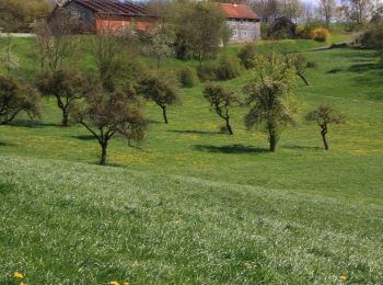
![Randonnée A pied Poppenhausen - Dietershausen Rundweg 2 - Photo](https://media.geolcdn.com/t/350/260/7fe3badb-044a-4754-9bef-3c7f4c3f74a4.jpeg&format=jpg&maxdim=2)
![A pied A pied](https://static1.geolcdn.com/sitytour/trail-icons/100.png)
Km
A pied
![](/images/other/stat-length.png)
![](https://static1.geolcdn.com/siteimages/upload/files/1508320355ic_sort_den_pos_24dp.png)
![](https://static1.geolcdn.com/siteimages/upload/files/1508320355ic_sort_den_neg_24dp.png)
![](https://static1.geolcdn.com/siteimages/upload/files/16400158638029165_repeat_loop_refresh_sync_direction_icon.png)
• Randonnée créée par Verkehrsverein Künzell-Dietershausen e.V.. Symbole: Weiße 2 auf blauem Grund
![Randonnée A pied Poppenhausen - Dietershausen Rundweg 1 - Photo](https://media.geolcdn.com/t/350/260/7fe3badb-044a-4754-9bef-3c7f4c3f74a4.jpeg&format=jpg&maxdim=2)
![A pied A pied](https://static1.geolcdn.com/sitytour/trail-icons/100.png)
Km
A pied
![](/images/other/stat-length.png)
![](https://static1.geolcdn.com/siteimages/upload/files/1508320355ic_sort_den_pos_24dp.png)
![](https://static1.geolcdn.com/siteimages/upload/files/1508320355ic_sort_den_neg_24dp.png)
![](https://static1.geolcdn.com/siteimages/upload/files/16400158638029165_repeat_loop_refresh_sync_direction_icon.png)
• Randonnée créée par Verkehrsverein Künzell-Dietershausen e.V.. Symbole: Weiße Zahl auf blauem Grund
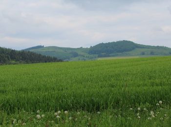
![Randonnée A pied Poppenhausen - Abtsroda - Rhön-Rundweg 7 - Photo](https://media.geolcdn.com/t/350/260/c411f78c-1494-4f39-a9f4-d7cf43fbad81.jpeg&format=jpg&maxdim=2)
![A pied A pied](https://static1.geolcdn.com/sitytour/trail-icons/100.png)
Km
A pied
![](/images/other/stat-length.png)
![](https://static1.geolcdn.com/siteimages/upload/files/1508320355ic_sort_den_pos_24dp.png)
![](https://static1.geolcdn.com/siteimages/upload/files/1508320355ic_sort_den_neg_24dp.png)
![](https://static1.geolcdn.com/siteimages/upload/files/16400158638029165_repeat_loop_refresh_sync_direction_icon.png)
• Randonnée créée par Naturpark Hessische Rhön. Symbole: Weiße 7 auf blauem Quadrat
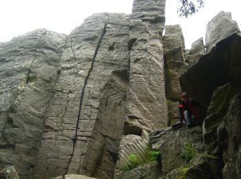
![Randonnée A pied Poppenhausen - Maulkuppe - Rhönrundweg 14 - Photo](https://media.geolcdn.com/t/350/260/1df110bb-cdb5-428b-a3d2-2b675e525b98.jpeg&format=jpg&maxdim=2)
![A pied A pied](https://static1.geolcdn.com/sitytour/trail-icons/100.png)
Km
A pied
![](/images/other/stat-length.png)
![](https://static1.geolcdn.com/siteimages/upload/files/1508320355ic_sort_den_pos_24dp.png)
![](https://static1.geolcdn.com/siteimages/upload/files/1508320355ic_sort_den_neg_24dp.png)
![](https://static1.geolcdn.com/siteimages/upload/files/16400158638029165_repeat_loop_refresh_sync_direction_icon.png)
• Randonnée créée par Naturpark Hessische Rhön. Symbole: Weiße 14 auf blauem Hintergrund
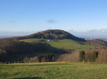
![Randonnée A pied Poppenhausen - Maulkuppe - Rhönrundweg 15 - Photo](https://media.geolcdn.com/t/350/260/a0b5c099-0874-462d-ba20-4d44dee586eb.jpeg&format=jpg&maxdim=2)
![A pied A pied](https://static1.geolcdn.com/sitytour/trail-icons/100.png)
Km
A pied
![](/images/other/stat-length.png)
![](https://static1.geolcdn.com/siteimages/upload/files/1508320355ic_sort_den_pos_24dp.png)
![](https://static1.geolcdn.com/siteimages/upload/files/1508320355ic_sort_den_neg_24dp.png)
![](https://static1.geolcdn.com/siteimages/upload/files/16400158638029165_repeat_loop_refresh_sync_direction_icon.png)
• Randonnée créée par Naturpark Hessische Rhön. Symbole: Weiße 15 auf blauem Quadrat
![Randonnée A pied Poppenhausen - Milseburg - Rhönrundweg 4 - Photo](https://media.geolcdn.com/t/350/260/a0b5c099-0874-462d-ba20-4d44dee586eb.jpeg&format=jpg&maxdim=2)
![A pied A pied](https://static1.geolcdn.com/sitytour/trail-icons/100.png)
Km
A pied
![](/images/other/stat-length.png)
![](https://static1.geolcdn.com/siteimages/upload/files/1508320355ic_sort_den_pos_24dp.png)
![](https://static1.geolcdn.com/siteimages/upload/files/1508320355ic_sort_den_neg_24dp.png)
![](https://static1.geolcdn.com/siteimages/upload/files/16400158638029165_repeat_loop_refresh_sync_direction_icon.png)
• Randonnée créée par Naturpark Hessische Rhön. Symbole: Weiße 4 auf blauem Quadrat
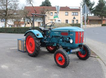
![Randonnée A pied Poppenhausen - Poppenhausen - Wachtkueppel - Photo](https://media.geolcdn.com/t/350/260/7f47fa62-95a9-4e0f-b414-afaeb3aa169f.jpeg&format=jpg&maxdim=2)
![A pied A pied](https://static1.geolcdn.com/sitytour/trail-icons/100.png)
Km
A pied
![](/images/other/stat-length.png)
![](https://static1.geolcdn.com/siteimages/upload/files/1508320355ic_sort_den_pos_24dp.png)
![](https://static1.geolcdn.com/siteimages/upload/files/1508320355ic_sort_den_neg_24dp.png)
![](https://static1.geolcdn.com/siteimages/upload/files/16400158638029165_repeat_loop_refresh_sync_direction_icon.png)
• Randonnée créée par Rhönklub. Symbole: Yellow ">" on white
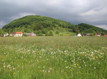
![Randonnée A pied Poppenhausen - Rhön-Rundweg 9 Wachtkueppel - Photo](https://media.geolcdn.com/t/350/260/36c54cc4-fcc0-4e6a-be5c-571bad21a200.jpeg&format=jpg&maxdim=2)
![A pied A pied](https://static1.geolcdn.com/sitytour/trail-icons/100.png)
Km
A pied
![](/images/other/stat-length.png)
![](https://static1.geolcdn.com/siteimages/upload/files/1508320355ic_sort_den_pos_24dp.png)
![](https://static1.geolcdn.com/siteimages/upload/files/1508320355ic_sort_den_neg_24dp.png)
![](https://static1.geolcdn.com/siteimages/upload/files/16400158638029165_repeat_loop_refresh_sync_direction_icon.png)
• Randonnée créée par Naturpark Hessische Rhön. incomplete Symbole: white 9 on blue
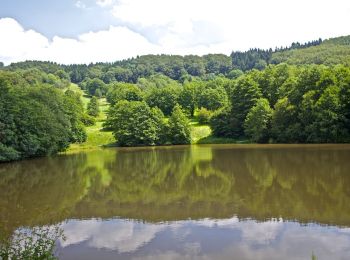
![Randonnée A pied Poppenhausen - Guckaisee - Rhön-Rundweg 18 - Photo](https://media.geolcdn.com/t/350/260/dd37c3bf-d30d-493c-bfb6-604791e4efae.jpeg&format=jpg&maxdim=2)
![A pied A pied](https://static1.geolcdn.com/sitytour/trail-icons/100.png)
Km
A pied
![](/images/other/stat-length.png)
![](https://static1.geolcdn.com/siteimages/upload/files/1508320355ic_sort_den_pos_24dp.png)
![](https://static1.geolcdn.com/siteimages/upload/files/1508320355ic_sort_den_neg_24dp.png)
![](https://static1.geolcdn.com/siteimages/upload/files/16400158638029165_repeat_loop_refresh_sync_direction_icon.png)
• Randonnée créée par Naturpark Hessische Rhön. Symbole: Weiße 18 auf blauem Hintergrund
![Randonnée A pied Poppenhausen - Poppenhausen - Altenfeld - Photo](https://media.geolcdn.com/t/350/260/7f47fa62-95a9-4e0f-b414-afaeb3aa169f.jpeg&format=jpg&maxdim=2)
![A pied A pied](https://static1.geolcdn.com/sitytour/trail-icons/100.png)
Km
A pied
![](/images/other/stat-length.png)
![](https://static1.geolcdn.com/siteimages/upload/files/1508320355ic_sort_den_pos_24dp.png)
![](https://static1.geolcdn.com/siteimages/upload/files/1508320355ic_sort_den_neg_24dp.png)
![](https://static1.geolcdn.com/siteimages/upload/files/16400158638029165_repeat_loop_refresh_sync_direction_icon.png)
• Randonnée créée par Rhönklub. Symbole: Maisgelber Pfeil auf weißem Hintergrund
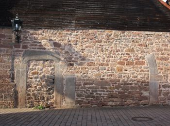
![Randonnée A pied Poppenhausen - Poppenhausen - Rhön-Rundweg 4 - Photo](https://media.geolcdn.com/t/350/260/582cf635-fca6-4b71-adfa-6e5ab26e2cee.jpeg&format=jpg&maxdim=2)
![A pied A pied](https://static1.geolcdn.com/sitytour/trail-icons/100.png)
Km
A pied
![](/images/other/stat-length.png)
![](https://static1.geolcdn.com/siteimages/upload/files/1508320355ic_sort_den_pos_24dp.png)
![](https://static1.geolcdn.com/siteimages/upload/files/1508320355ic_sort_den_neg_24dp.png)
![](https://static1.geolcdn.com/siteimages/upload/files/16400158638029165_repeat_loop_refresh_sync_direction_icon.png)
• Randonnée créée par Naturpark Hessische Rhön. Symbole: Weiße 4 auf blauem Hintergrund
![Randonnée A pied Poppenhausen - Hochrhöner Zubringer Poppenhausen => Wasserkuppe - Photo](https://media.geolcdn.com/t/350/260/7f47fa62-95a9-4e0f-b414-afaeb3aa169f.jpeg&format=jpg&maxdim=2)
![A pied A pied](https://static1.geolcdn.com/sitytour/trail-icons/100.png)
Km
A pied
![](/images/other/stat-length.png)
![](https://static1.geolcdn.com/siteimages/upload/files/1508320355ic_sort_den_pos_24dp.png)
![](https://static1.geolcdn.com/siteimages/upload/files/1508320355ic_sort_den_neg_24dp.png)
![](https://static1.geolcdn.com/siteimages/upload/files/16400158638029165_repeat_loop_refresh_sync_direction_icon.png)
• Randonnée créée par Rhönklub. Symbole: Grünes ö auf weißem Hintergrund
![Randonnée A pied Poppenhausen - Poppenhausen - Rhön-Rundweg 8 - Photo](https://media.geolcdn.com/t/350/260/582cf635-fca6-4b71-adfa-6e5ab26e2cee.jpeg&format=jpg&maxdim=2)
![A pied A pied](https://static1.geolcdn.com/sitytour/trail-icons/100.png)
Km
A pied
![](/images/other/stat-length.png)
![](https://static1.geolcdn.com/siteimages/upload/files/1508320355ic_sort_den_pos_24dp.png)
![](https://static1.geolcdn.com/siteimages/upload/files/1508320355ic_sort_den_neg_24dp.png)
![](https://static1.geolcdn.com/siteimages/upload/files/16400158638029165_repeat_loop_refresh_sync_direction_icon.png)
• Randonnée créée par Naturpark Hessische Rhön. Symbole: Weiße 8 auf blauem Hintergrund
![Randonnée A pied Poppenhausen - Poppenhausen - Rhön-Rundweg 1 - Photo](https://media.geolcdn.com/t/350/260/c411f78c-1494-4f39-a9f4-d7cf43fbad81.jpeg&format=jpg&maxdim=2)
![A pied A pied](https://static1.geolcdn.com/sitytour/trail-icons/100.png)
Km
A pied
![](/images/other/stat-length.png)
![](https://static1.geolcdn.com/siteimages/upload/files/1508320355ic_sort_den_pos_24dp.png)
![](https://static1.geolcdn.com/siteimages/upload/files/1508320355ic_sort_den_neg_24dp.png)
![](https://static1.geolcdn.com/siteimages/upload/files/16400158638029165_repeat_loop_refresh_sync_direction_icon.png)
• Randonnée créée par Naturpark Hessische Rhön. Symbole: Weiße 1 auf blauem Hintergrund
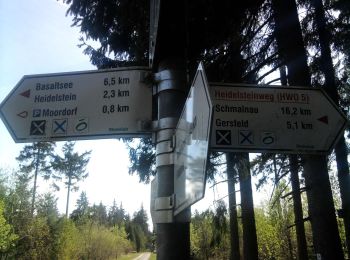
![Randonnée A pied Poppenhausen - Wasserkuppenrundweg - Photo](https://media.geolcdn.com/t/350/260/a91c85a5-f4b9-41f0-ab75-56ecf2f5d019.jpeg&format=jpg&maxdim=2)
![A pied A pied](https://static1.geolcdn.com/sitytour/trail-icons/100.png)
Km
A pied
![](/images/other/stat-length.png)
![](https://static1.geolcdn.com/siteimages/upload/files/1508320355ic_sort_den_pos_24dp.png)
![](https://static1.geolcdn.com/siteimages/upload/files/1508320355ic_sort_den_neg_24dp.png)
![](https://static1.geolcdn.com/siteimages/upload/files/16400158638029165_repeat_loop_refresh_sync_direction_icon.png)
• Randonnée créée par Rhönklub. Symbole: Schwarzes W auf weißem Hintergrund Site web: http://rhoenklub.de/wanderunge...
![Randonnée A pied Poppenhausen - Poppenhausen - Rhön-Rundweg 5 - Photo](https://media.geolcdn.com/t/350/260/c411f78c-1494-4f39-a9f4-d7cf43fbad81.jpeg&format=jpg&maxdim=2)
![A pied A pied](https://static1.geolcdn.com/sitytour/trail-icons/100.png)
Km
A pied
![](/images/other/stat-length.png)
![](https://static1.geolcdn.com/siteimages/upload/files/1508320355ic_sort_den_pos_24dp.png)
![](https://static1.geolcdn.com/siteimages/upload/files/1508320355ic_sort_den_neg_24dp.png)
![](https://static1.geolcdn.com/siteimages/upload/files/16400158638029165_repeat_loop_refresh_sync_direction_icon.png)
• Randonnée créée par Naturpark Hessische Rhön. Symbole: Weiße 5 auf blauem Hintergrund
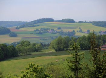
![Randonnée A pied Poppenhausen - Poppenhausen Wanderweg 2 - Photo](https://media.geolcdn.com/t/350/260/a2e98835-ff86-41db-9d83-d1aebf7ac860.jpeg&format=jpg&maxdim=2)
![A pied A pied](https://static1.geolcdn.com/sitytour/trail-icons/100.png)
Km
A pied
![](/images/other/stat-length.png)
![](https://static1.geolcdn.com/siteimages/upload/files/1508320355ic_sort_den_pos_24dp.png)
![](https://static1.geolcdn.com/siteimages/upload/files/1508320355ic_sort_den_neg_24dp.png)
![](https://static1.geolcdn.com/siteimages/upload/files/16400158638029165_repeat_loop_refresh_sync_direction_icon.png)
• Randonnée créée par Naturpark Hessische Rhön. Symbole: Weiße 2 auf blauem Quadrat
17 randonnées affichées sur 17
Application GPS de randonnée GRATUITE